Die Kugel
Location: Cham
Made from material: metal
GPS coordinates: 49.21139,12.57539
Latest update: October 28, 2025 14:02
Burg Wetterfeld
2.7 km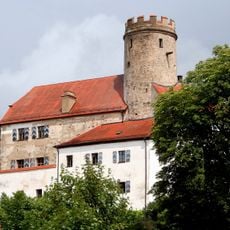
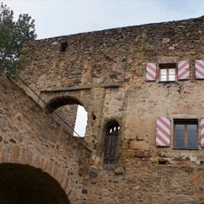
Thierlstein
1.4 km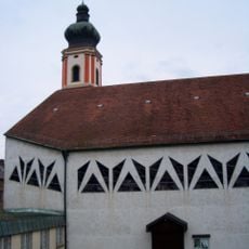
St. Pankratius
4.5 km
Josephi- und Anna-Kapelle Roding
4.5 km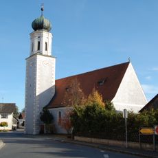
St. Vitus
2.8 km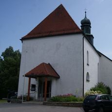
St. Ulrich (Wetterfeld)
2.7 km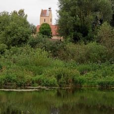
St. Martin
521 m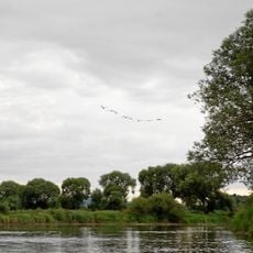
Regentalaue zwischen Cham und Pösing
1.8 km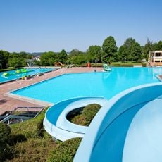
Freibad Platschare Roding
3.7 km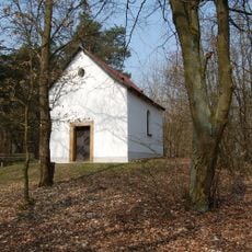
Kalvarienbergkapelle
3.3 km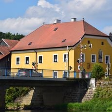
Pfarrhof
2.7 km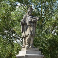
Figur des hl. Johannes Nepomuk
2.7 km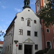
Rathaus
4.5 km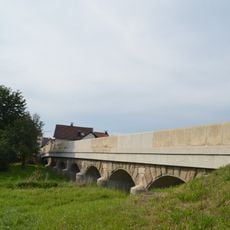
Brücke über den Altbach (Untertraubenbach)
538 m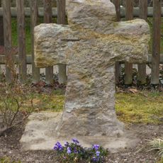
Steinkreuz
2.6 km
Amphibienvorkommen am Pfahl bei Ried am Pfahl
4.1 km
'''Ensemble Marktplatz und Brückenkopf'''
2.7 km
Bauernhaus
4.5 km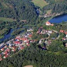
Chamb, Regentalaue und Regen zwischen Roding und Donaumündung
3.9 km
Schwalbenhaus
493 m
Wehrmauer mit Turm
4.5 km
Pankratiussäule
4.5 km
Pankratiusbrunnen
4.5 km
Mural, Work of art
723 m
Stadtsilhouette und Regenfluss
4.6 km
Scenic viewpoint
2.5 km
Ehrenmal
3.8 km
KZ-Gedenkstätte
2.5 kmReviews
Visited this place? Tap the stars to rate it and share your experience / photos with the community! Try now! You can cancel it anytime.
Discover hidden gems everywhere you go!
From secret cafés to breathtaking viewpoints, skip the crowded tourist spots and find places that match your style. Our app makes it easy with voice search, smart filtering, route optimization, and insider tips from travelers worldwide. Download now for the complete mobile experience.

A unique approach to discovering new places❞
— Le Figaro
All the places worth exploring❞
— France Info
A tailor-made excursion in just a few clicks❞
— 20 Minutes