DLRG Rettungsboot
Location: Halle (Saale)
Creator: DLRG
Creator: DLRG
GPS coordinates: 51.47741,11.95664
Latest update: July 20, 2025 17:15
Hallors and Saline Museum
569 m
Halle port railway
669 m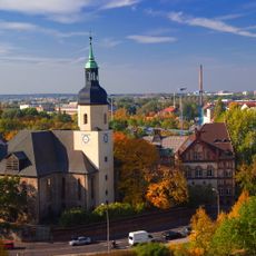
St. Georgen
560 m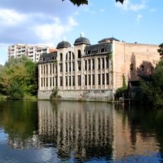
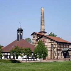
Freyberg-Brauerei
394 m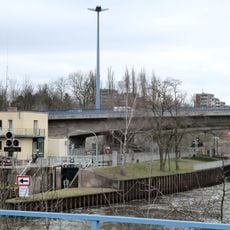
Halle-Stadt lock
425 m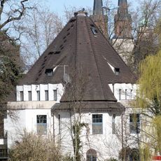
Villa Ulrich
328 m
Kloster Marienkammer
556 m
Planetarium Halle (Saale)
180 m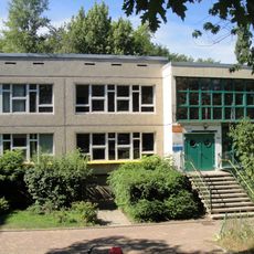
Böllberger Weg 189
470 m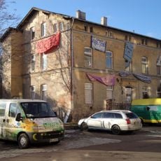
Hafenstraße 7
594 m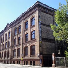
School building Weingärtenschule
522 m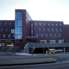
Saale-Klinik Halle
658 m
Zisterzienserinnenkloster Marienkammer, Glaucha
552 m
Depot des Stadtmuseum Halle
613 m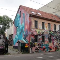
Stadthof Glaucha
548 m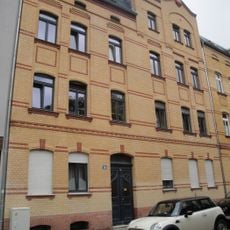
Weingärten 26
567 m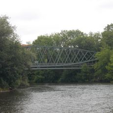
Hafenbahnbrücke
663 m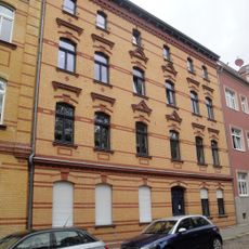
Weingärten 28
547 m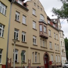
Weingärten 31
512 m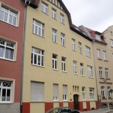
Weingärten 30
523 m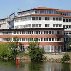
Ankerstraße 3a und 3b
722 m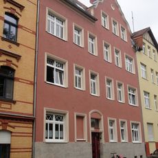
Weingärten 29
535 m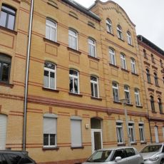
Weingärten 27
554 m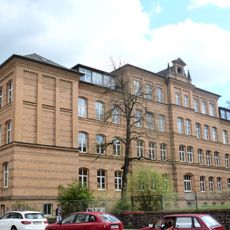
Schulgebäude Heinrich-Pera-Straße 13
712 m
Memorial, commemorative plaque
531 m
WUK Theater Quartier
113 m
Karl Meseberg
671 m
Kristallsäulen
524 mReviews
Visited this place? Tap the stars to rate it and share your experience / photos with the community! Try now! You can cancel it anytime.
Discover hidden gems everywhere you go!
From secret cafés to breathtaking viewpoints, skip the crowded tourist spots and find places that match your style. Our app makes it easy with voice search, smart filtering, route optimization, and insider tips from travelers worldwide. Download now for the complete mobile experience.

A unique approach to discovering new places❞
— Le Figaro
All the places worth exploring❞
— France Info
A tailor-made excursion in just a few clicks❞
— 20 Minutes