Step Pyramid
Location: Newcastle upon Tyne
GPS coordinates: 55.00635,-1.66170
Latest update: November 5, 2025 01:25
Partnership House
2.4 km
Jubilee Theatre
1.8 km
Church of All Saints
2.4 km
Church of St James and St Basil
2.6 km
Hall Of Church Of St James And St Basil
2.5 km
Church of St John the Evangelist
822 m
Fenham Library
2.5 km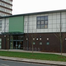
Gosforth Library
2.5 km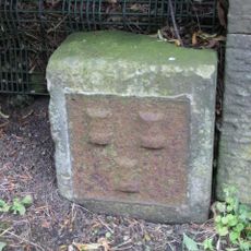
Town Moor Boundary Stone About One Metre North Of Millmount
2 km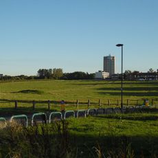
Nuns Moor
2 km
House, South East Of Bullock Steads Farmhouse, And Farm Buildings Attached
1.8 km
Whorlton Grange
2.5 km
62-70, The Drive
2.6 km
Bullock Steads Farmhouse
1.8 km
Gas Lamps At Entrance To South Drive
2.3 km
Kenton Bunker At Former Raf Blakelaw
650 m
Red House Farmhouse
1.8 km
Vicarage of Church of St James and St Basil
2.5 km
The Theatre Or Recreation Room At St Nicholas Hospital
1.7 km
Orion Cinema
2.3 km
Regal Cinema
2.6 km
Gate Piers And Walls At Entrance To South Drive
2.3 km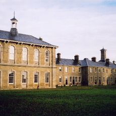
St Nicholas Hospital, Newcastle upon Tyne
1.7 km
Newcastle-upon-Tyne observatory
1.9 km
Westerhope Golf Club
2.6 km
City of Newcastle Golf Club
2.5 km
Newcastle United Golf Club
1.9 km
Statue, Work of art
2.6 kmReviews
Visited this place? Tap the stars to rate it and share your experience / photos with the community! Try now! You can cancel it anytime.
Discover hidden gems everywhere you go!
From secret cafés to breathtaking viewpoints, skip the crowded tourist spots and find places that match your style. Our app makes it easy with voice search, smart filtering, route optimization, and insider tips from travelers worldwide. Download now for the complete mobile experience.

A unique approach to discovering new places❞
— Le Figaro
All the places worth exploring❞
— France Info
A tailor-made excursion in just a few clicks❞
— 20 Minutes