Cranberry Lane
Location: London Borough of Newham
GPS coordinates: 51.52402,0.00940
Latest update: November 23, 2025 14:41
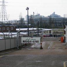
Abbey Mills Mosque
755 m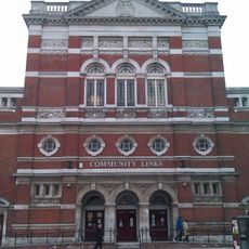
105 Barking Road
734 m
Uniform Distribution and Accreditation Centre
500 m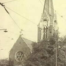
Holy Trinity Church, Canning Town
675 m
St Matthias’ Church, Canning Town
195 m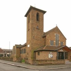
St Philip and St James’ Church, Plaistow
809 m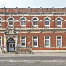
Former Canning Town Library
736 m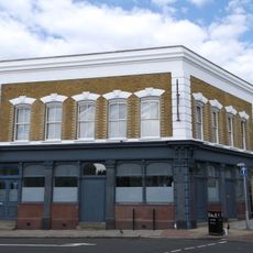
The Earl Of Derby Public House
882 m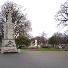
East London Cemetery Company War Memorial
444 m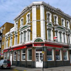
Royal Oak Public House
841 m
No 8 Gasholder
807 m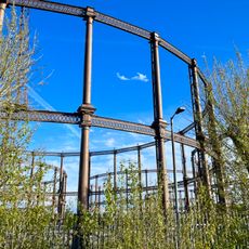
No 9 Gasholder
874 m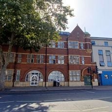
Fairbairn Hall
822 m
No 4 Gasholder
869 m
No 7 Gasholder
859 m
Cinema
828 m
Imperial Bioscope
730 m
Grave marker for 15 infants from Upper North Street School (Poplar) in the East London Cemetery
612 m
Roman Catholic Chapel Of St Margaret
436 m
Equanimity
225 m
Piano
646 m
Daisy Parsons
247 m
Nature in Mind
546 m
A cloud + a fence
689 m
Mural, Work of art
761 m
Work of art, installation artwork
637 m
Installation artwork, Work of art
624 m
Work of art, installation artwork
511 mReviews
Visited this place? Tap the stars to rate it and share your experience / photos with the community! Try now! You can cancel it anytime.
Discover hidden gems everywhere you go!
From secret cafés to breathtaking viewpoints, skip the crowded tourist spots and find places that match your style. Our app makes it easy with voice search, smart filtering, route optimization, and insider tips from travelers worldwide. Download now for the complete mobile experience.

A unique approach to discovering new places❞
— Le Figaro
All the places worth exploring❞
— France Info
A tailor-made excursion in just a few clicks❞
— 20 Minutes