Hydra Towers
Location: London Borough of Tower Hamlets
Creator: Phelgm
Creator: Phelgm
GPS coordinates: 51.53106,-0.06658
Latest update: November 21, 2025 19:01
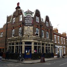
Royal Oak
254 m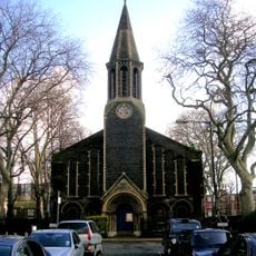
St Peter's, Bethnal Green
174 m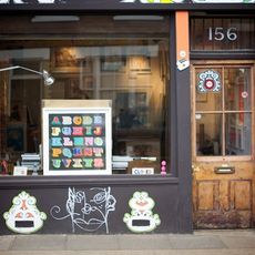
Nelly Duff
229 m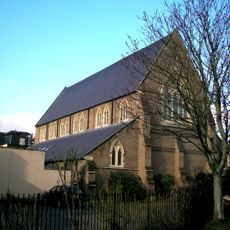
291 Gallery (Former St Augustine's Church)
123 m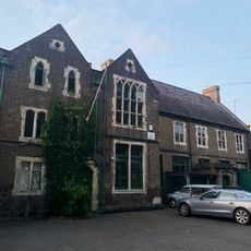
Noel Mander Church Organ Works
173 m
Front Garden Walls To Numbers 237 To 243 (Odd)
237 m
337-353, Hackney Road E2
106 m
St Peter's Vicarage
200 m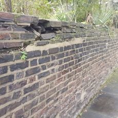
Garden Walls In Front Of Numbers 245 To 251 (Odd)
194 m
237-243, Hackney Road E2
239 m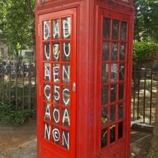
K2 Telephone Kiosk On Traffic Island At Junction With Columbia Road
50 m
359 And 361, Hackney Road E2
154 m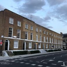
2-16, Queensbridge Road E2
216 m
375-385, Hackney Road E2
219 m
245-251, Hackney Road E2
196 m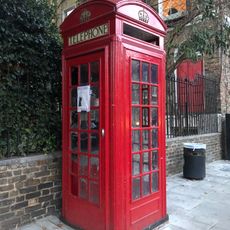
K2 Telephone Kiosk At Junction With Hackney Road
224 m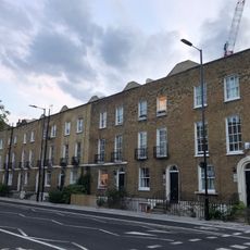
1-15, Queensbridge Road E2
240 m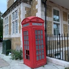
K2 Telephone Kiosk At Junction With Hackney Road
43 m
Railings And Gate Piers To North, West And South Sides Of Churchyard Of St Peter's Church
204 m
363-373, Hackney Road E2
180 m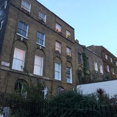
229-235, Hackney Road E2
261 m
Post At Narrowing Of Road
330 m
Sebright Primary School Including Former Schoolkeeper's House And Cookery Centre
316 m
Cattle Trough
145 m
Odeon Hackney Road
305 m
The Chapel at St Saviour's Priory
216 m
Shipton Street Gallery
173 m
The Old Bank Vault
83 mReviews
Visited this place? Tap the stars to rate it and share your experience / photos with the community! Try now! You can cancel it anytime.
Discover hidden gems everywhere you go!
From secret cafés to breathtaking viewpoints, skip the crowded tourist spots and find places that match your style. Our app makes it easy with voice search, smart filtering, route optimization, and insider tips from travelers worldwide. Download now for the complete mobile experience.

A unique approach to discovering new places❞
— Le Figaro
All the places worth exploring❞
— France Info
A tailor-made excursion in just a few clicks❞
— 20 Minutes