
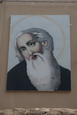
Sant'Antonio Abate
Location: Angera
Creator: Andrea Ravo Mattoni
Creator: Andrea Ravo Mattoni
GPS coordinates: 45.77236,8.57353
Latest update: October 23, 2025 13:15
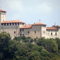
Rocca Borromeo di Angera
321 m
Santuario della Madonna della Riva
135 m
Santa Maria Assunta
365 m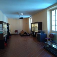
Civico museo archeologico di Angera
256 m
High water mark
1.5 km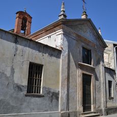
San Vittore Church
192 m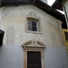
Sant'Alessandro Church
424 m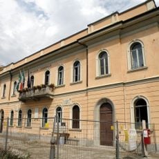
Palazzo comunale
172 m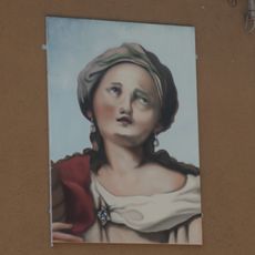
Santa Liberata
166 m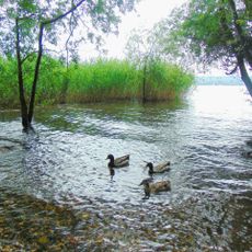
Canneti del Lago Maggiore
1.4 km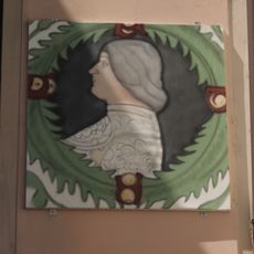
Ludovico il Moro
166 m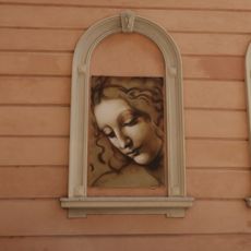
La Scapigliata
159 m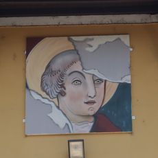
San Quirico
419 m
Particolare della sala di Giudizio della Rocca di Angera
69 m
Angera Museo diffuso
179 m
Fanciullo con canestro di frutta
241 m
Scenic viewpoint
1.3 km
Catholic church building, Christianity, Work of art
135 m
Forchetta gigante
386 m
Scenic viewpoint
1.3 km
Scenic viewpoint
1.2 km
Motta Pelada
1.1 km
Scenic viewpoint
417 m
Scenic viewpoint
289 m
Scenic viewpoint
1.4 km
High water mark
1.5 km
Museo della Bambola e del Giocattolo
272 m
San Carlino
1.5 kmReviews
Visited this place? Tap the stars to rate it and share your experience / photos with the community! Try now! You can cancel it anytime.
Discover hidden gems everywhere you go!
From secret cafés to breathtaking viewpoints, skip the crowded tourist spots and find places that match your style. Our app makes it easy with voice search, smart filtering, route optimization, and insider tips from travelers worldwide. Download now for the complete mobile experience.

A unique approach to discovering new places❞
— Le Figaro
All the places worth exploring❞
— France Info
A tailor-made excursion in just a few clicks❞
— 20 Minutes