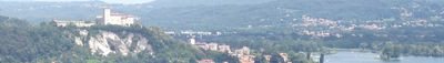
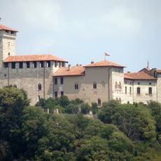
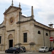
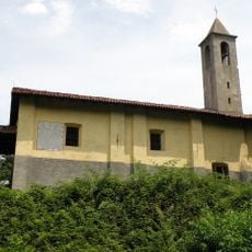
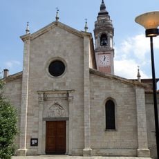
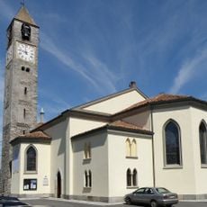
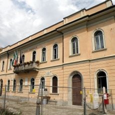
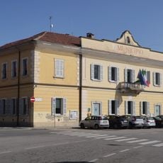
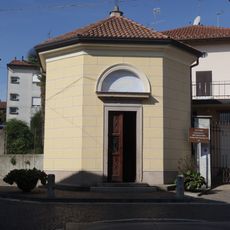
Angera, Medieval commune in Province of Varese, Italy.
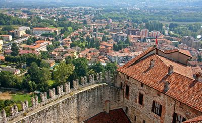
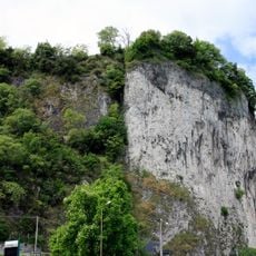
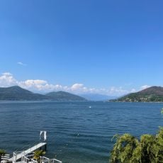
Angera is a commune on the eastern shore of Lake Maggiore, dominated by a limestone hill topped with the medieval Rocca Borromeo fortress. The castle rises prominently above the town and defines the lake's skyline with its distinctive shape.
The area was known in medieval times as Stazzona and grew around a fortress that controlled ship traffic on the lake. This strategic position made it an important point for regional control for centuries.
The Rocca Borromeo houses a doll museum displaying over one thousand European dolls from different periods. Inside the medieval stone walls, visitors can see handcrafted pieces that reflect how children played and lived across the continent.
The location sits at 193 meters elevation and connects to Milan by regional trains, while water transport services operate across the lake. Visitors can explore the area using public transit or by boat, giving multiple options for arrival and departure.
Scientist Alessandro Volta discovered methane gas in the marshlands here during a summer stay in 1776. This discovery became a major moment in chemistry history and links the small town to an important scientific breakthrough.
Location: Province of Varese
Capital city: Angera
Elevation above the sea: 193 m
Shares border with: Cadrezzate con Osmate, Ispra, Meina, Ranco, Sesto Calende, Taino, Dormelletto, Arona
Website: http://comune.angera.va.it
GPS coordinates: 45.76667,8.58333
Latest update: December 20, 2025 14:23
Rocca Borromeo di Angera
1.2 km
Rocca Borromea
2.2 km
Villa Cantoni
2.1 km
Santuario della Madonna della Riva
960 m
Santi Martiri, Arona
1.9 km
Santa Maria Assunta
927 m
San Quirico
2.3 km
Santa Maria Nascente
2 km
Civico museo archeologico di Angera
903 m
Chiesa di Santo Stefano Protomartire
2.4 kmCivico museo archeologico di Arona
1.9 km
San Giuseppe
2 km
Asilo Bottelli
2 km
Chiesa della Beata Vergine Addolorata
4.9 km
Spiaggia dei Caravalle
3 km
Santa Maria di Loreto
1.9 km
Spiaggia libera Rocchetta
2.2 kmHigh water mark
1.9 km
Chiesa della Santissima Trinità
2 km
Sant'Alessandro Church
946 m
San Vittore Church
1.1 km
Palazzo comunale
857 m
Sacro Cuore
2.7 km
Town hall of Taino
2.5 km
Santi Anna e Gioacchino
1.8 km
Edicola di Sant'Eurosia
2.5 km
Santa Liberata
1 km
Bust of Luigi Boniforti
1.9 kmVisited this place? Tap the stars to rate it and share your experience / photos with the community! Try now! You can cancel it anytime.
Discover hidden gems everywhere you go!
From secret cafés to breathtaking viewpoints, skip the crowded tourist spots and find places that match your style. Our app makes it easy with voice search, smart filtering, route optimization, and insider tips from travelers worldwide. Download now for the complete mobile experience.
A unique approach to discovering new places❞
— Le Figaro
All the places worth exploring❞
— France Info
A tailor-made excursion in just a few clicks❞
— 20 Minutes