P.S.
Location: Kaunas
Inception: January 1, 2020
Creator: Žygimantas Amelynas;Tadas Šimkus
Creator: Žygimantas Amelynas;Tadas Šimkus
GPS coordinates: 54.87005,23.95105
Latest update: November 19, 2025 19:46
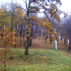
Napoleon's Hill
1.8 km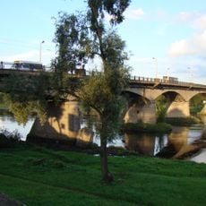
Panemunė bridge
760 m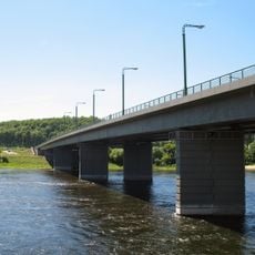
M. K. Čiurlionis Bridge
2.2 km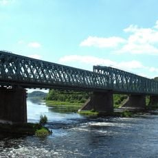
Railway Bridge, Kaunas
2.1 km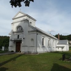
Church of the Holy Name of the Virgin Mary, Aukštoji Panemunė
1.5 km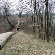
Aukštieji Šančiai hillfort
1.4 km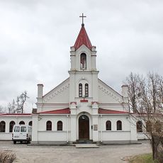
Methodist Church in Kaunas
1.5 km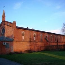
Šančiai Catholic Church
876 m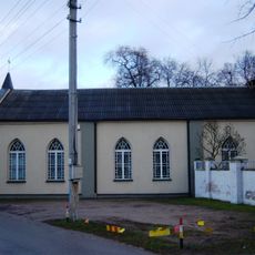
Kauno evangelikų krikščionių baptistų bažnyčia
1.2 km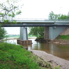
Jiesios tiltas
1.8 km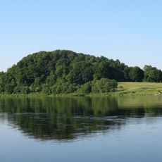
Jiesia
2 km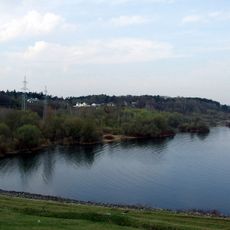
Kaunas Ornitological Reserve
2.1 km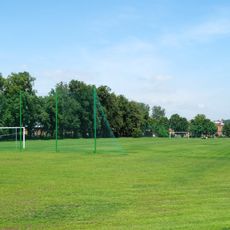
Panemunė Stadium
1.3 km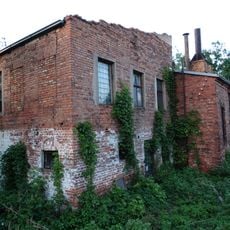
Šanču sinagoga
1.1 km
Chapel of The Dawn Gate's Blessed Virgin Mary, Panemunė
1.7 km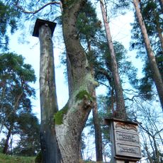
Ąžuolo ir pušies draugystė
1.4 km
Church Of The Sacred Heart Of Jesus, Šančiai
822 m
He and She
888 m
Šančių paplūdimys
1.4 km
Panemunės paplūdymys
1.1 km
Winter finished
1.8 km
Geležinkelio tiltas
2.1 km
Tires in the Sky
1.2 km
Šančiai Times
1.4 km
Last passenger
2.2 km
Nemunas
1.9 km
Tarybinis reliktas
628 m
Scenic viewpoint
2 kmReviews
Visited this place? Tap the stars to rate it and share your experience / photos with the community! Try now! You can cancel it anytime.
Discover hidden gems everywhere you go!
From secret cafés to breathtaking viewpoints, skip the crowded tourist spots and find places that match your style. Our app makes it easy with voice search, smart filtering, route optimization, and insider tips from travelers worldwide. Download now for the complete mobile experience.

A unique approach to discovering new places❞
— Le Figaro
All the places worth exploring❞
— France Info
A tailor-made excursion in just a few clicks❞
— 20 Minutes