Safe Harbour
Location: Bay
Location: Nepean
Made from material: stone
GPS coordinates: 45.35163,-75.82708
Latest update: October 29, 2025 00:25

Carling Campus
1.8 km
Wesley Clover Parks
2.4 km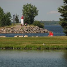
Dick Bell Park
61 m
Drummond Methodist Church
3.1 km
Hartin's Hotel
3 km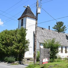
Old St. Stephen's Anglican Church
2.9 km
Arbour House
2.9 km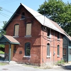
127 Britannia Road
3 km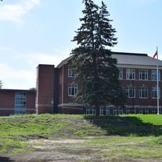
Grant School
2.8 km
48 Britannia Road
3 km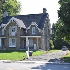
Fairfields
2 km
295 Greenview Avenue
2.7 km
154 Britannia Road
2.9 km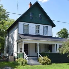
66 Bradford Street
3 km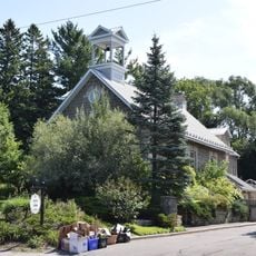
Mosgrove School
2.2 km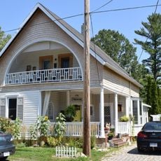
175 Britannia Road
2.9 km
Lest We Forget The Wilderness
4.2 km
Time Flow
2.8 km
Sage Tattoo & Art Gallery
4.5 km
Anchors
2.5 km
Work of art
4.3 km
Work of art, sculpture
2.8 km
Scenic viewpoint
3.2 km
Scenic viewpoint
3.2 km
Scenic viewpoint
3.4 km
The Deschênes Rapids
3.7 km
Sailing
78 m
Scenic viewpoint
3.6 kmReviews
Visited this place? Tap the stars to rate it and share your experience / photos with the community! Try now! You can cancel it anytime.
Discover hidden gems everywhere you go!
From secret cafés to breathtaking viewpoints, skip the crowded tourist spots and find places that match your style. Our app makes it easy with voice search, smart filtering, route optimization, and insider tips from travelers worldwide. Download now for the complete mobile experience.

A unique approach to discovering new places❞
— Le Figaro
All the places worth exploring❞
— France Info
A tailor-made excursion in just a few clicks❞
— 20 Minutes