
Love is in the Air
Location: Village of Saugerties
GPS coordinates: 42.07653,-73.95172
Latest update: October 28, 2025 12:14
Clermont State Historic Site
2.9 km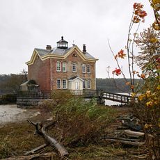
Saugerties Light
1.9 km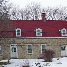
Wynkoop House
2.2 km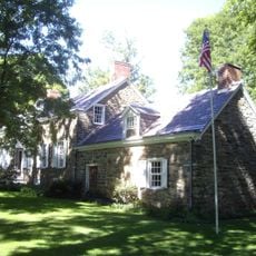
Kiersted house
323 m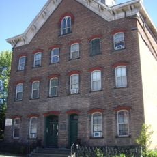
Loerzel Beer Hall
197 m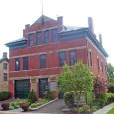
Watts De Peyster Fireman's Hall
3.9 km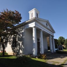
Trinity Episcopal Church Complex
1 km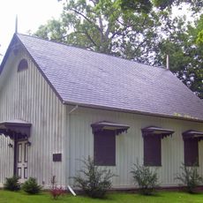
Clarkson Chapel
5 km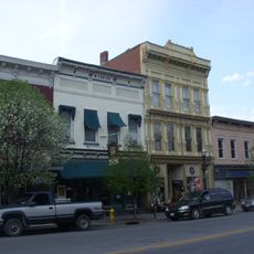
Main–Partition Streets Historic District
99 m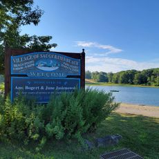
Saugerties Beach
620 m
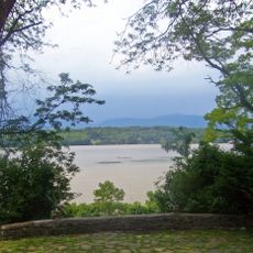
Scenic viewpoint
774 m
Scenic viewpoint
2.5 km
Scenic viewpoint
831 m
Scenic viewpoint
1.2 km
Scenic viewpoint
1.9 km
Scenic viewpoint
786 m
Scenic viewpoint
2.8 km
Scenic viewpoint
2.6 km
Scenic viewpoint
2.3 km
Scenic viewpoint
1.5 km
Scenic viewpoint
3.3 km
Scenic viewpoint
4.1 km
North Point
3.8 km
South Point
4.1 km
Waterfall Overlook
2.2 km
Scenic viewpoint
963 m
Scenic viewpoint
3.5 km
Sycamore Point
3.6 kmReviews
Visited this place? Tap the stars to rate it and share your experience / photos with the community! Try now! You can cancel it anytime.
Discover hidden gems everywhere you go!
From secret cafés to breathtaking viewpoints, skip the crowded tourist spots and find places that match your style. Our app makes it easy with voice search, smart filtering, route optimization, and insider tips from travelers worldwide. Download now for the complete mobile experience.

A unique approach to discovering new places❞
— Le Figaro
All the places worth exploring❞
— France Info
A tailor-made excursion in just a few clicks❞
— 20 Minutes