Bauerngolf
Location: Samerberg
Accessibility: Acceso limitado en silla de ruedas
GPS coordinates: 47.77682,12.23446
Latest update: November 22, 2025 21:25
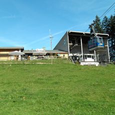
Hochriesbahn
795 m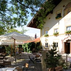
Gasthaus Alpenrose
81 m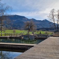
Naturbad Samerberger Filze
814 m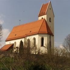
St. Ägidius und Nikolaus
52 m
Feldkapelle
269 m
Vierzehnnothelferkapelle
261 m
Cultural heritage D-1-8239-0114 in Samerberg
55 m
Bauernhaus Eiding 2 in Samerberg
974 m
Hochriesstraße 40
264 m
Bauernhaus
133 m
Oberdorf 14
186 m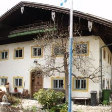
Feichteckstraße 2
164 m
Bauernhaus
861 m
Holzbildstock
484 m
Eiding 1
1 km
Eiding 2
974 m
Wayside cross
580 m
Wayside cross
663 m
Wayside cross
303 m
Wayside cross
645 m
Wayside cross
241 m
Christianity, Catholic church building, wayside cross
459 m
Christianity, wayside cross
231 m
Wayside cross
955 m
Wayside shrine, Christianity
484 m
Wayside cross
918 m
Wayside cross
571 m
Wayside cross
437 mReviews
Visited this place? Tap the stars to rate it and share your experience / photos with the community! Try now! You can cancel it anytime.
Discover hidden gems everywhere you go!
From secret cafés to breathtaking viewpoints, skip the crowded tourist spots and find places that match your style. Our app makes it easy with voice search, smart filtering, route optimization, and insider tips from travelers worldwide. Download now for the complete mobile experience.

A unique approach to discovering new places❞
— Le Figaro
All the places worth exploring❞
— France Info
A tailor-made excursion in just a few clicks❞
— 20 Minutes