Origine
Location: Montigny
Creator: Les Plastiqueurs
GPS coordinates: 49.45794,1.01951
Latest update: October 2, 2025 20:26
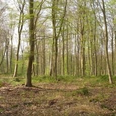
Forêt de Roumare
2.5 km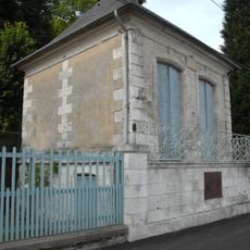
Pavillon Flaubert
2.7 km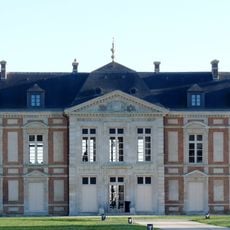
Château de Canteleu
2.4 km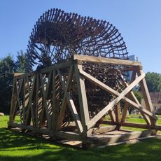
Roue Tifine
3 km
Église Saint-Martin de Canteleu
2.1 km
Quai Richard-Waddington
2.9 km
Port de plaisance de Rouen
2.9 km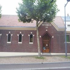
Temple antoiniste de Rouen
2.9 km
Scenic viewpoint
2.1 km
Les chaumes
547 m
Wayside cross
2.5 km
Seesaw
775 m
Mégalithe de Roumare
1.8 km
La forêt sacrée
678 m
Camels
673 m
Le monde dans un gland
660 m
L’attrape-brume
503 m
Jacques Delattre
2.5 km
A ladder to heaven
702 m
Work of art, sculpture
2.5 km
Joseph Hue
2.6 km
Work of art, sculpture
2.6 km
Compluvium
446 m
Herd
425 m
Memorial
2.9 km
Gargan le Géant
409 m
Cathédrale de vert
385 m
Une Rivière Sonore du Possible
175 mReviews
Visited this place? Tap the stars to rate it and share your experience / photos with the community! Try now! You can cancel it anytime.
Discover hidden gems everywhere you go!
From secret cafés to breathtaking viewpoints, skip the crowded tourist spots and find places that match your style. Our app makes it easy with voice search, smart filtering, route optimization, and insider tips from travelers worldwide. Download now for the complete mobile experience.

A unique approach to discovering new places❞
— Le Figaro
All the places worth exploring❞
— France Info
A tailor-made excursion in just a few clicks❞
— 20 Minutes