
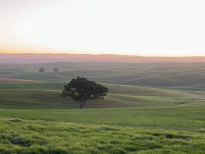
The lone tree
Location: מועצה אזורית לכיש
GPS coordinates: 31.50611,34.72273
Latest update: November 13, 2025 03:41
Ruhama Badlands
2 km
Pura Nature Reserve
5 km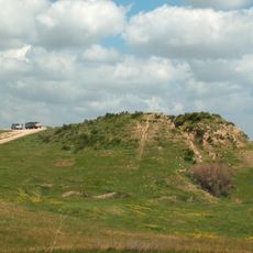
Tell el-Hesi
4.7 km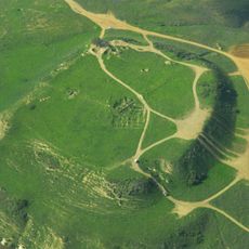
Tel Nagila
3.4 km
Mishlat Ma'ahaz
7.3 km
Atar HaRiShonim BaNegev
2.4 km
Tell el Meleiha
7.1 km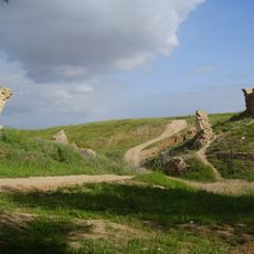
Turkish bridge over Pura stream
4 km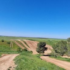
מצפה שביל השובלים
6.2 km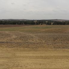
נוף יפה לכיוון מזרח
6.8 km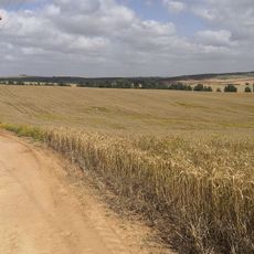
View to the East
5.7 km
תצפית אורלי
6.4 km
תל מלחה
7 km
תל קשת
5.4 km
Observation tower, summit, hill, scenic viewpoint, mountain, tower
3 km
ספריית שביל ישראל
2.3 km
Philip Carriage Farm
5.4 km
Tel Nagila
3.3 km
תל שקף
5.9 km
משלט מאחז
7.2 km
תצפית בתרונות רוחמה
1.2 km
חורבת מרשן
6.8 km
בוסטר
4.9 km
גשר טורקי
4 km
Ruins
321 m
Ruins
318 m
Ruins
3.6 km
חורבת זדים
2.8 kmReviews
Visited this place? Tap the stars to rate it and share your experience / photos with the community! Try now! You can cancel it anytime.
Discover hidden gems everywhere you go!
From secret cafés to breathtaking viewpoints, skip the crowded tourist spots and find places that match your style. Our app makes it easy with voice search, smart filtering, route optimization, and insider tips from travelers worldwide. Download now for the complete mobile experience.

A unique approach to discovering new places❞
— Le Figaro
All the places worth exploring❞
— France Info
A tailor-made excursion in just a few clicks❞
— 20 Minutes