
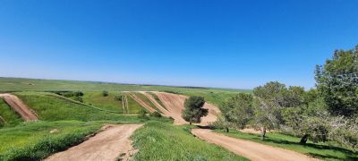
מצפה שביל השובלים
Location: מועצה אזורית מרחבים
GPS coordinates: 31.46680,34.67627
Latest update: November 13, 2025 05:28
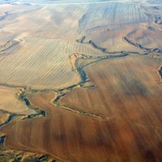
Ruhama Badlands
6.1 km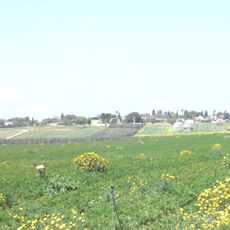
Nir Moshe
4.4 km
Nir Akiva
2.8 km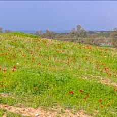
Giv'at ha-Kalaniyot
6.5 km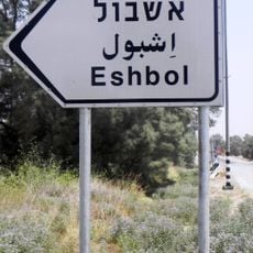
Eshbol
2.4 km
Tel Nagila
8.7 km
Tel esh-Sharia
8.4 km
Yiftach Brigade Memorial in the Negev
8.7 km
Atar HaRiShonim BaNegev
3.9 km
נוף יפה לכיוון מזרח
4.4 km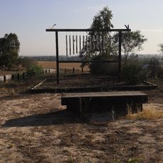
Wind Flute Lookout
3.9 km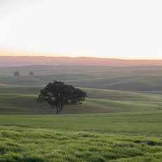
The lone tree
6.2 km
View to the East
5.2 km
תצפית אורלי
5 km
חורבת מרשן
8.1 km
Observation tower, summit, hill, scenic viewpoint, mountain, tower
5 km
ספריית שביל ישראל
7.7 km
Tel Nagila
8.7 km
חורבת בית הגדי
6.9 km
Tel Mifsah
2.6 km
תצפית בתרונות רוחמה
5.8 km
בוסטר
5.3 km
חורבת בלהן
6.2 km
קברי אריק ולילי שרון
6.5 km
Ruins
6.5 km
Ruins
6.5 km
Ruins
4.1 km
חורבת זדים
6.8 kmReviews
Visited this place? Tap the stars to rate it and share your experience / photos with the community! Try now! You can cancel it anytime.
Discover hidden gems everywhere you go!
From secret cafés to breathtaking viewpoints, skip the crowded tourist spots and find places that match your style. Our app makes it easy with voice search, smart filtering, route optimization, and insider tips from travelers worldwide. Download now for the complete mobile experience.

A unique approach to discovering new places❞
— Le Figaro
All the places worth exploring❞
— France Info
A tailor-made excursion in just a few clicks❞
— 20 Minutes