
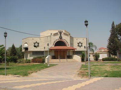
Merhavim Regional Council, place in Israel
Location: Beersheba Subdistrict
Inception: 1951
GPS coordinates: 31.45000,34.70000
Latest update: March 6, 2025 10:02
Israel National Trail
16.4 km
The Black Arrow monument
15.3 km
Havat Shikmim
9.3 km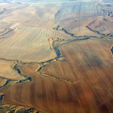
Ruhama Badlands
5.6 km
Giv'ot Bar
11.7 km
Pura Nature Reserve
8.7 km
Tidhar
10.3 km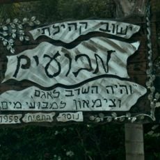
Mabu'im
4.4 km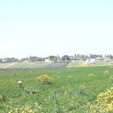
Nir Moshe
7.2 km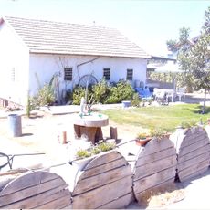
Ma'agalim
11.3 km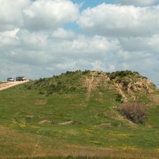
Tell el-Hesi
11.2 km
Nir Akiva
5.5 km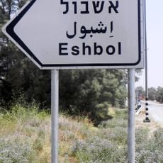
Eshbol
3.1 km
Tel Haror
11.7 km
Bitha
14.4 km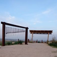
Assaf Siboni lookout
15.2 km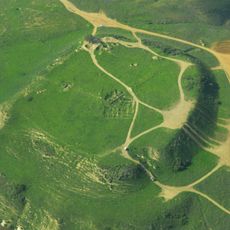
Tel Nagila
8.1 km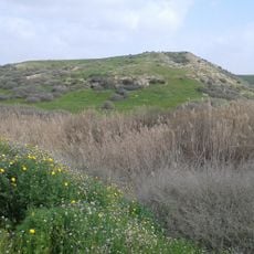
Tel esh-Sharia
6.8 km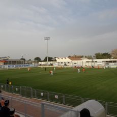
Sderot Stadium
12.8 km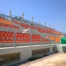
Netivot Municipal Stadium
11.2 km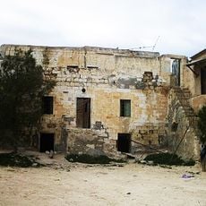
בית השיח' סלמאן אלהוזייל
6.5 km
Armistice houses
15.3 km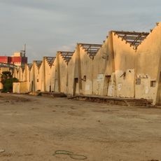
Of-Ar Factory
16.5 km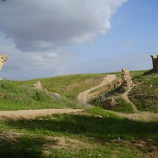
Turkish bridge over Pura stream
8.4 km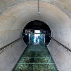
The Negev Water and Defence Museum
14.3 km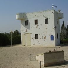
A Fortress facing Gaza
16.3 km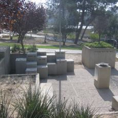
Monument to the Fallen of Shoval
6 km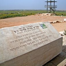
Nabiya Meri lookout
15.7 kmReviews
Visited this place? Tap the stars to rate it and share your experience / photos with the community! Try now! You can cancel it anytime.
Discover hidden gems everywhere you go!
From secret cafés to breathtaking viewpoints, skip the crowded tourist spots and find places that match your style. Our app makes it easy with voice search, smart filtering, route optimization, and insider tips from travelers worldwide. Download now for the complete mobile experience.

A unique approach to discovering new places❞
— Le Figaro
All the places worth exploring❞
— France Info
A tailor-made excursion in just a few clicks❞
— 20 Minutes