Tel Nagila, Archaeological site in Southern District, Israel
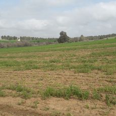
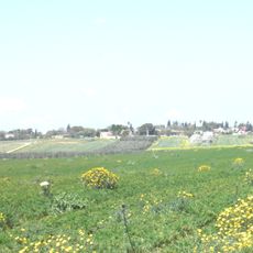
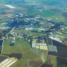
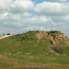
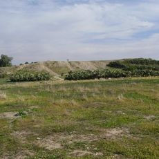
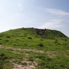
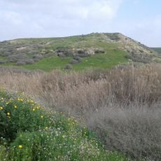
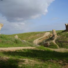
Tel Nagila is a mound on a hill on the western bank of Nahal Shikma, between Route 40 and Kibbutz Ruchama. Its main remains are from the Middle Bronze Age II, including a rampart with a retaining wall and gate, and a later building with thick walls. A lone tamarisk tree stood on the summit until it fell in a storm on 12 March 2020.
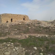
Tel Nagila was excavated in 1962 by Ruth Amiran and Avraham Eitan, who were searching for the Philistine city of Gath; after two seasons they concluded it was not Gath. The main finds were from Middle Bronze Age II (stratum VII), when the Egyptian 18th Dynasty ruled the area: residential buildings, an earth rampart with a retaining wall and a gate. The settlement was destroyed and soon rebuilt (stratum VI), with a thick-walled building and a floor holding a two-toned cooking pot from Late Bronze Age I. A nearby Iron Age II village and a Mamluk structure on the summit were also found.
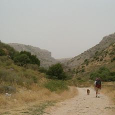
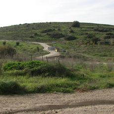
The Hebrew name comes from the Arabic Tel al-Najila, "hill of the grass"; a lone tamarisk stood on the summit until a storm felled it on 12 March 2020. The tell is visible from Route 40 south of Beersheba, and a blue-marked kurkar track from the Pura reserve leads to it.
Access is by a kurkar dirt road leaving the Pura reserve, marked with a blue trail marker. The tell stands between Route 40 and Kibbutz Ruchama, and a lone tamarisk once stood on its summit until it fell in a storm on 12 March 2020. The top gives a view over the surrounding farmland.
A lone tamarisk tree stood on the mound for years and was visible from Route 40; it fell in a storm on 12 March 2020. The Ottoman army built a 105 cm-gauge railway to Beersalem in 1915, and the remains of its bridge over Nahal Shikma can still be seen near the tell.
The community of curious travelers
AroundUs brings together thousands of curated places, local tips, and hidden gems, enriched daily by 93,258 contributors worldwide.