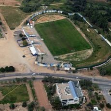
Tel Zayit, Archaeological site in Southern District, Israel.
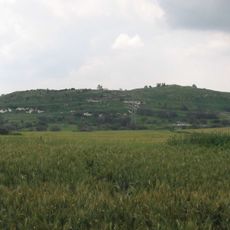
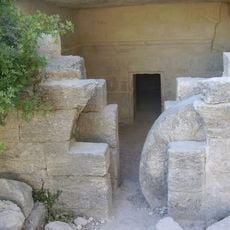
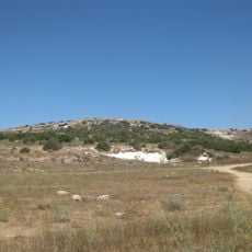
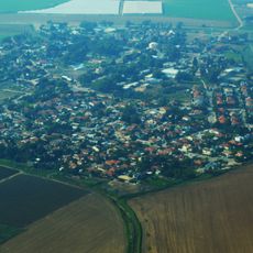
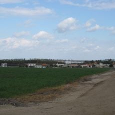
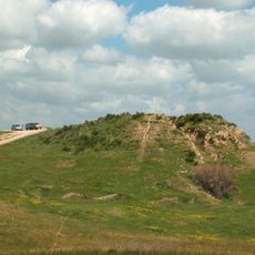
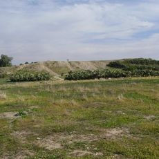
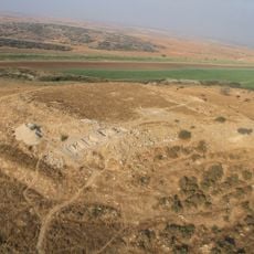
Tel Zayit is a small archaeological tell of roughly 0.8 acres in the Shephelah lowlands, about 5 km northeast of Kiryat Gat and near Route 335. Its mound preserves settlement layers from the Late Bronze Age through the Mamluk period, with the largest occupation in the late Late Bronze Age covering more than 30 dunams.
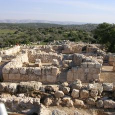
Tel Zayit was settled from the Late Bronze Age through the Mamluk period, reaching over 30 dunams in the Late Bronze Age. In Iron Age IIa a new town was founded on the tell, its early pottery resembling Tel Lachish and linked to the kingdom of Judah. It burned around 1200 BCE and again in the 9th century BCE; Ron Tappy attributes the later destruction to Hazael of Aram, matching the fire at Tell es-Safi (Gath).
The name Zayit means "olive" in Hebrew, and the tell stands beside the road that linked the Judean hill country with the Shephelah and Egypt. Excavations at nearby Tel Ekron show the region was a major centre for producing and exporting olive oil in the early Babylonian period, worked by local Philistines.
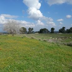
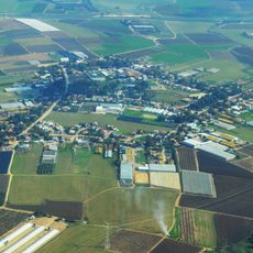
Tel Zayit lies about 5 km northeast of Kiryat Gat and a few kilometres west of Kibbutz Galon, beside Route 335. The tell covers roughly 0.8 acres, with its main remains on the summit and slopes. Access is by road; the excavated areas are unshaded and the ground uneven, so sturdy footwear helps.
The Zayit Stone, found in 2005 in a house destroyed by fire, carries 22 letters of the alphabet in its first line and the letters qoph, resh, shin and taw with two divider marks in a second line; three words appear on the other face. Ron Tappy's team dated it to the tenth century BCE, though a ninth-century date has also been argued.
The community of curious travelers
AroundUs brings together thousands of curated places, local tips, and hidden gems, enriched daily by 94,076 contributors worldwide.