Israel National Trail, Long-distance hiking trail across Israel
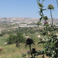
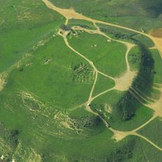
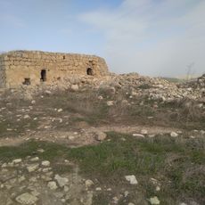
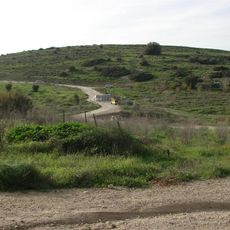
The Israel National Trail is a marked hiking route running the length of Israel, from the Golani Brigade monument on Mount Hermon in the north to the area of Sde Eilat school on the Gulf of Eilat. It measures 1,088 km, divided by the SPNI trails committee into 56 sections. Most of the path is dirt track, with some quiet roads and pavements, and it is blazed with three parallel stripes: white, blue and orange.
The idea came from Avraham Tamir, a journalist and hiker who walked the Appalachian Trail in the late 1970s; he brought it to Uri Dvir, a hiker and educator involved in founding the Society for the Protection of Nature in Israel, who planned and carried out the route. After about 16 years of work and debate over the course, the trail was inaugurated in April 1995. In 2003 a Sharon section was moved to the coast, and in 2023 the start was shifted to Mount Hermon.
The route takes its name from the country itself and passes through settlements of different kinds, including agricultural communities and urban neighborhoods. Walkers often meet locals along the way who share stories about life in the region and sometimes offer accommodation.
The best months for walking fall between October and April when temperatures are more moderate. In the dry sections, hikers should carry enough water and plan food supplies ahead of time.
Since 2016 the entire route can be explored on Google Street View. Another feature is the "trail angels": people living along the path who offer hikers a bed, a shower, a spot for a tent or a lift, mostly without asking for payment.
The community of curious travelers
AroundUs brings together thousands of curated places, local tips, and hidden gems, enriched daily by 94,075 contributors worldwide.