
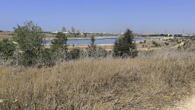
עמדת תצפית בנויה
Location: מועצה אזורית גזר
GPS coordinates: 31.90621,34.91849
Latest update: November 13, 2025 12:35
Nesher Ramla
965 m
Ayalon Cave
966 m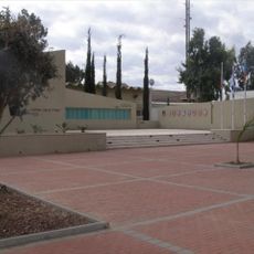
אנדרטה לנופלי פיקוד העורף
4.2 km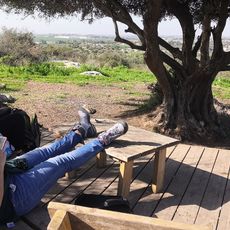
זולה (פינת חמד לנוח ולאכול) עם נוף יפה לכיוון מערב
4.1 km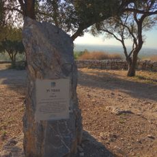
מצפה חן
3.4 km
Hurbat Ragav
3.5 km
תצפית במקלט הקופים
4.1 km
Hill, scenic viewpoint, mountain, summit
3.8 km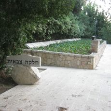
Kibbutz Gezer Military Plot
3.6 km
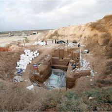
Ruins
3 km
Ruins
4.1 km
Tel Hamid
2.6 km
תל גמזו
3.8 km
3 החטופים בהר דוב
3.7 km
HaShnayim lookout
3.8 km
Ruins
3.1 km
Ruins
3.2 km
Ruins
4.2 km
Scenic viewpoint
2.9 km
Ruins
3.6 km
Ruins
3.3 km
Ruins
3.4 km
Ruins
3.1 km
גת
2.6 km
גת
3.6 km
Archaeological site
4.2 km
קבר
4.2 km
גת
4 kmReviews
Visited this place? Tap the stars to rate it and share your experience / photos with the community! Try now! You can cancel it anytime.
Discover hidden gems everywhere you go!
From secret cafés to breathtaking viewpoints, skip the crowded tourist spots and find places that match your style. Our app makes it easy with voice search, smart filtering, route optimization, and insider tips from travelers worldwide. Download now for the complete mobile experience.

A unique approach to discovering new places❞
— Le Figaro
All the places worth exploring❞
— France Info
A tailor-made excursion in just a few clicks❞
— 20 Minutes