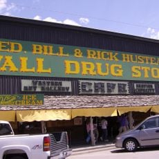
Wall Drug
17.3 km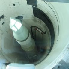
Minuteman Missile National Historic Site
10.1 km
Badlands Wilderness
12.9 km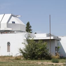
Badlands Observatory
17.2 km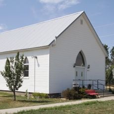
Quinn Methodist Church
17.1 km
Fossil Exhibit Trail
16.9 km
Conata Basin Overlook
5 m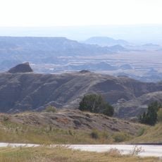
Ancient Hunters Overlook
4 km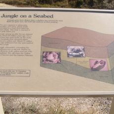
Yellow Mounds Overlook
359 m
Bigfoot Pass Overlook
12.7 km
Homestead Overlook
2.6 km
Story of Wounded Knee
17.1 km
Wall Drug 80-foot Dinosaur
16.5 km
White River Valley Overlook
14 km
Wall Golf Course
15.7 km
Panorama Point
11.7 km
Prairie Wind Overlook
10 km
Burns Basin Overlook
6.1 km
Roberts Prairie Dog Town
11.7 km
Yellow Mounds Overlook
354 m
Ancient Hunters Overlook
3.9 km
Pinnacles Overlook
4.6 km
Sage Creek Basin Overlook
13.1 km
Badlands Wilderness Overlook
7.3 km
Hay Butte Overlook
6.4 km
Prairie Wind Overlook
9.9 km
Scenic viewpoint
5.8 km
Robert Prairie Dog Town
12 kmReviews
Visited this place? Tap the stars to rate it and share your experience / photos with the community! Try now! You can cancel it anytime.
Discover hidden gems everywhere you go!
From secret cafés to breathtaking viewpoints, skip the crowded tourist spots and find places that match your style. Our app makes it easy with voice search, smart filtering, route optimization, and insider tips from travelers worldwide. Download now for the complete mobile experience.

A unique approach to discovering new places❞
— Le Figaro
All the places worth exploring❞
— France Info
A tailor-made excursion in just a few clicks❞
— 20 Minutes