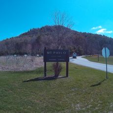
Mount Philo State Park
4.8 km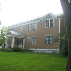
Rokeby
1.7 km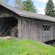
Spade Farm Covered Bridge
454 m
Kingsland Bay State Park
5.7 km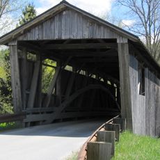
Quinlan's Covered Bridge
5.8 km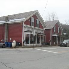
Charlotte Center Historic District
8.6 km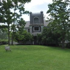
Hawley's Ferry House
5.3 km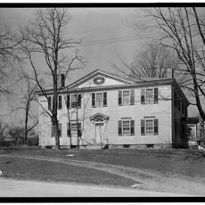
Gen. Samuel Strong House
8.4 km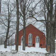
Union Meetinghouse
3.7 km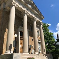
Bixby Memorial Free Library
8 km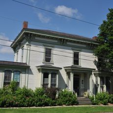
Vergennes Residential Historic District
8.1 km
Field Farm
2.9 km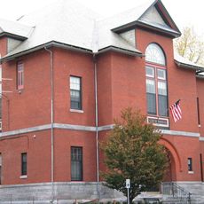
Vergennes Historic District
7.9 km
Capts. Louis and Philomene Daniels House
7.8 km
Split Rock Point Light
8 km
Monkton Borough Baptist Church
7.6 km
The Vergennes Opera House
7.8 km
Ross Sheehan Studio
8 km
Quinlans Covered Bridge
5.8 km
Scenic viewpoint
7.6 km
Scenic viewpoint
7.9 km
Scenic viewpoint
4.7 km
Scenic viewpoint
4.7 km
Scenic viewpoint
5.6 km
MacDonough Point
5.4 km
Scenic viewpoint
7.5 km
Scenic viewpoint
4.7 km
Scenic viewpoint
5.2 kmReviews
Visited this place? Tap the stars to rate it and share your experience / photos with the community! Try now! You can cancel it anytime.
Discover hidden gems everywhere you go!
From secret cafés to breathtaking viewpoints, skip the crowded tourist spots and find places that match your style. Our app makes it easy with voice search, smart filtering, route optimization, and insider tips from travelers worldwide. Download now for the complete mobile experience.

A unique approach to discovering new places❞
— Le Figaro
All the places worth exploring❞
— France Info
A tailor-made excursion in just a few clicks❞
— 20 Minutes