
Lörmecke-Turm
Location: Warstein
Inception: January 1, 2008
Accessibility: Inacessível para cadeira de rodas
Fee: No
Website: http://flickr.com/photos/33766294@N03/9634182455
GPS coordinates: 51.39583,8.34640
Latest update: November 24, 2025 08:50

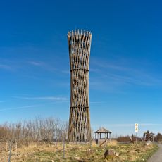
Lörmecke-Turm
3 m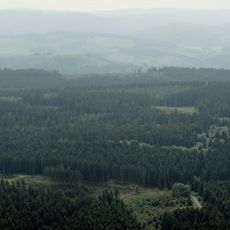
Plackweghöhe
33 m
Warsteiner Kopf
899 m
Moorbirkenbruch am Gemeinheitskopf
1.8 km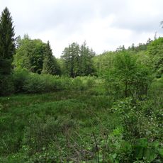
Aschholter Becke
2.4 km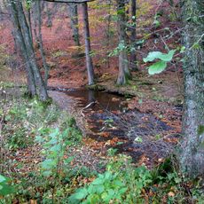
Talsystem Kohlweder Bach
2.5 km
Moorbirkenbruch am Gemeinheitskopf
1.6 km
Lörmecketalsystem
2.5 km
Gebke-Quellläufe
2.1 km
Oberes Lörmecketal
939 m
Siebersbruch
2.4 km
Obere Gebke
1.8 km
Offenland östlich Eversberg
2.8 km
Erlenbruch Grenschede
2.1 km
Freiflächen östlich von Eversberg
2.6 km
Oberes Wallmecketal
1.1 km
Hühnerknochen / Herrgottsohl
2.8 km
Liverhagen
1.6 km
Gemeinheitskopf
2.1 km
Warsteiner-Kopf
1 km
Riesenbank
2.3 km
Scenic viewpoint
1.2 km
Memorial stone, memorial
257 m
Memorial
625 m
Markes Kreuz
607 m
Denkmal August Rhode
2.3 km
Wayside cross
31 m
Wayside shrine
2.3 kmReviews
Visited this place? Tap the stars to rate it and share your experience / photos with the community! Try now! You can cancel it anytime.
Discover hidden gems everywhere you go!
From secret cafés to breathtaking viewpoints, skip the crowded tourist spots and find places that match your style. Our app makes it easy with voice search, smart filtering, route optimization, and insider tips from travelers worldwide. Download now for the complete mobile experience.

A unique approach to discovering new places❞
— Le Figaro
All the places worth exploring❞
— France Info
A tailor-made excursion in just a few clicks❞
— 20 Minutes