Warstein, Urban municipality in Soest district, Germany.
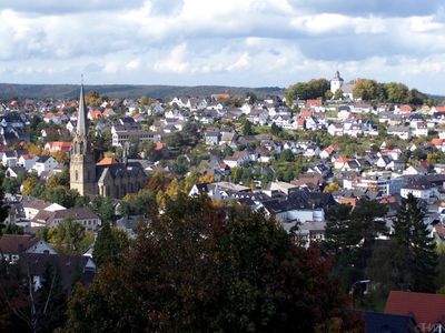
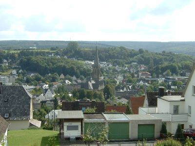
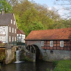
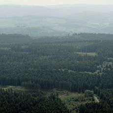
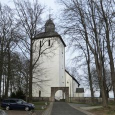
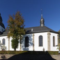
Warstein is an urban municipality at the northern edge of the Sauerland region, extending across a sizable area framed by forests and river meadows. The settlement consists of nine connected districts, each with its own character.
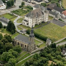
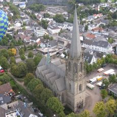
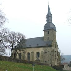
The first written record of this place dates to 1072, and the community later joined the Hanseatic League, reflecting its role in regional trade networks. A devastating fire in the early 1800s forced the center to rebuild elsewhere.
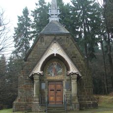
The nine districts here maintain regional traditions through festivals and music that shape everyday life. Visitors can experience these customs firsthand when communities gather for local celebrations.
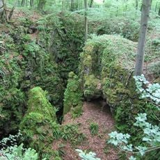
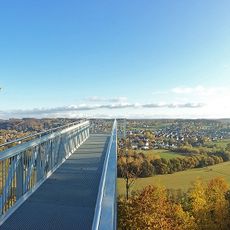
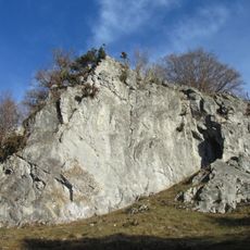
The town sits in the midst of pleasant countryside with good access for exploring the surrounding forests and river areas. Its position makes it an accessible starting point for walks and discovering the natural spaces around it.
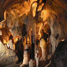
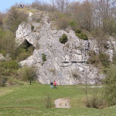
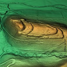
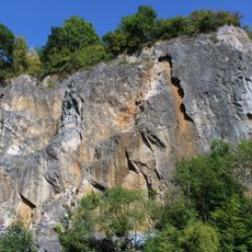
Within the town's boundaries lies Bilstein Cave, which holds archaeological traces of human settlements from ancient times. The cave shows that people have inhabited and used this area for thousands of years.
Location: Soest
Elevation above the sea: 346 m
Shares border with: Anröchte, Rüthen, Bestwig
Website: https://warstein.de
GPS coordinates: 51.45000,8.36667
Latest update: December 14, 2025 19:32
Lörmecke-Turm
6.2 km
Bilsteinhöhle
4.2 km
LWL-Klinik Warstein
1 km
Hohler Stein
3 km
Deutschordensschloss Mülheim/Möhne
7.5 km
Oberhagen
363 mSchloss Hirschberg
6.5 km
Stütings Mühle
4.4 km
Stadtkirche St. Pankratius
1.2 kmHaus Kupferhammer
843 m
Plackweghöhe
6.2 km
Haus Welschenbeck
5.4 km
Pfarrkirche St. Margaretha (Sichtigvor)
7.7 kmSt. Wilhelmshütte
379 m
Alte Kirche St. Pankratius
1.1 km
Kreuzbergkapelle (Sichtigvor)
7 km
St. Pankratius
4.2 km
Loermund
7 km
Skywalk Möhnetal
9.7 km
Dassel Mansion
8.4 km
Saint Hubertus Church
5.7 km
St. Gervasius und St. Protasius
6 km
Steinbruch Hillenberg
1.9 kmKloster Odacker
5.5 km
Hoher Stein (Kallenhardt)
2.4 km
Heilig Kreuz Kirche
3.9 kmSt.-Antonius-Kapelle (Niederbergheim)
10.3 km
Saint Christophorus
6.7 kmVisited this place? Tap the stars to rate it and share your experience / photos with the community! Try now! You can cancel it anytime.
Discover hidden gems everywhere you go!
From secret cafés to breathtaking viewpoints, skip the crowded tourist spots and find places that match your style. Our app makes it easy with voice search, smart filtering, route optimization, and insider tips from travelers worldwide. Download now for the complete mobile experience.
A unique approach to discovering new places❞
— Le Figaro
All the places worth exploring❞
— France Info
A tailor-made excursion in just a few clicks❞
— 20 Minutes