Plackweghöhe, Mountain summit in North Rhine-Westphalia, Germany
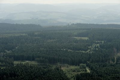
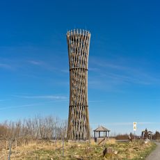
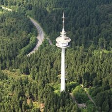
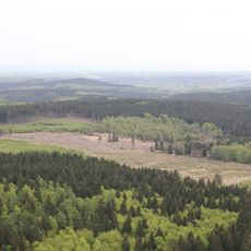
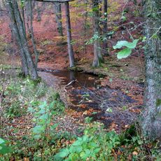
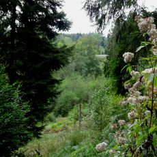
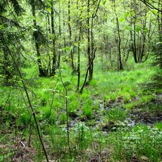
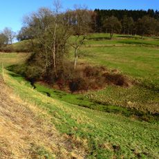
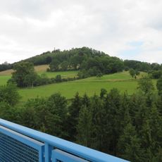
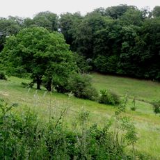
Plackweghöhe is a mountain rising to 581 meters within the Arnsberg Forest Nature Park and represents the highest point in the Warstein district. A tower stands at the summit offering views across the forested landscape dotted with valleys.
The name comes from an ancient trade route called Plackweg that once carried travelers and goods through the higher regions of the area. This connection reflects the historical importance of the site as a key passage through the landscape.
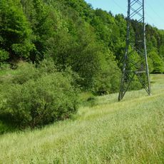
The tower at the summit serves as a gathering place for hikers seeking views of the surrounding forests and valleys. Visitors often pause here to take in the landscape and enjoy a rest during their walk.
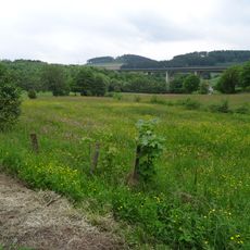
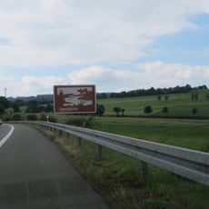
Marked hiking trails lead through the forest from various starting points near Warstein and Meschede. Most visitors should expect to spend one to two hours reaching the summit, depending on which trail they choose.
The mountain marks a natural watershed dividing two major river systems, with one river flowing south and a tributary flowing north. This geological feature shapes the water drainage of the entire region, though it remains invisible from the summit.
The community of curious travelers
AroundUs brings together thousands of curated places, local tips, and hidden gems, enriched daily by 60,000 contributors worldwide.