Republic of Paulava, Historical micronation site in Merkinė, Lithuania
The Republic of Paulava was a self-governing community established around 1769 by Catholic priest Paweł Ksawery Brzostowski, covering approximately 12 square miles (30 square kilometers) with about 800 residents primarily engaged in farming.
Founded during the Polish-Lithuanian Commonwealth, this small republic had its own president, parliament composed of local peasants, and a constitution drafted before Poland's 1791 Constitution, receiving official recognition from King Stanisław August Poniatowski.
The community emphasized collective agricultural practices and mutual support, preserving traditional Lithuanian customs, rural folklore, and handicrafts while allowing peasants to participate in weekly assemblies for communal decision-making and governance.
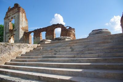
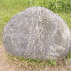
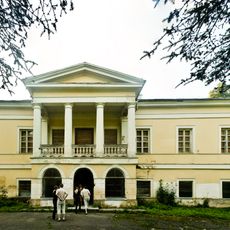
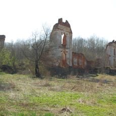
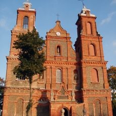
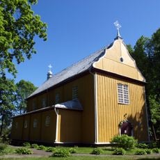
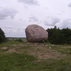
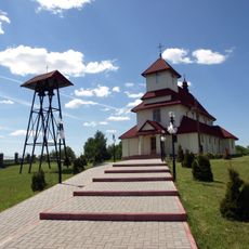
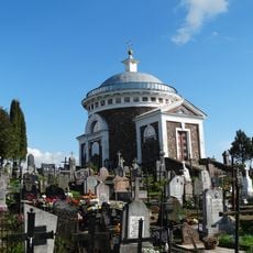
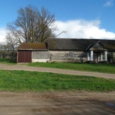
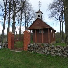
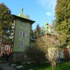
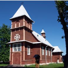
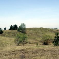
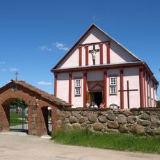
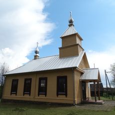
Visitors can explore archaeological remains and historical markers near the town of Merkinė in the Šalčininkai District Municipality, where preserved structures and former communal farm layouts illustrate the 18th-century lifestyle of this early self-governing settlement.
Paulava abolished serfdom and granted personal freedoms to peasants decades before such reforms became common in Europe, replacing forced labor with land taxes paid in cash and establishing educational and medical facilities for residents.
The community of curious travelers
AroundUs brings together thousands of curated places, local tips, and hidden gems, enriched daily by 60,000 contributors worldwide.