
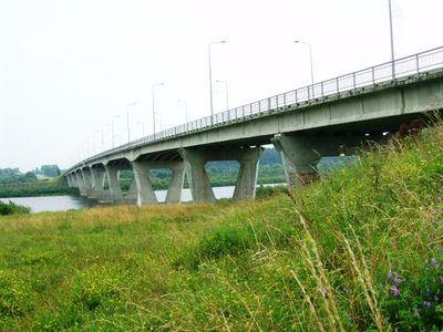
Šimtmečio tiltas
Location: Jurbarkas
Inception: January 1, 1978
Reference: 137
GPS coordinates: 55.07080,22.76803
Latest update: November 15, 2025 14:18
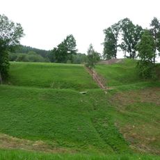
Sudargas hillforts
8.2 km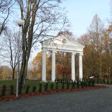
Jurbarkas Manor
1.2 km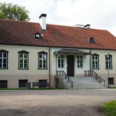
Kidulių dvaras
1.1 km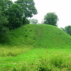
Bišpilis
1.8 km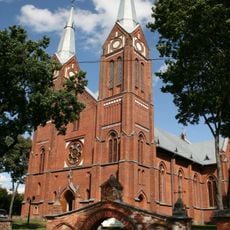
Church of the Holy Trinity, Jurbarkas
624 m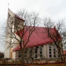
Evangelical Lutheran Church in Jurbarkas
1.1 km
Jurbarkų tvenkinys
5.1 km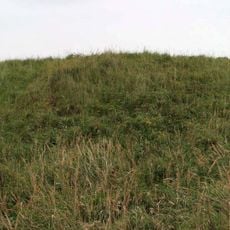
Kalnėnai hillfort
1.7 km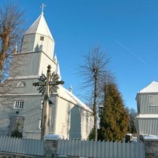
Church of St. Michael the Archangel, Kaimelis
2.4 km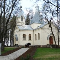
Orthodox church of the Transfiguration of Jesus Christ in Jurbarkas
1.2 km
Kukarskės piliakalnis
1.6 km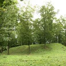
Antakalniškiai hillfort
5.7 km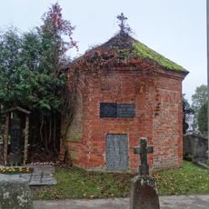
Jurbarkas, cemetery chapel
1.5 km
Meškininkų piliakalnis
8.3 km
Voverių tvenkinys
8.1 km
Kidulių tvenkinys
1.8 km
Kalnėnų karjeras
3.1 km
Greičių karjeras
6.6 km
Smukučių tvenkinys
3.7 km
Jurbarko dvaro sodyba
1.2 km
Kaimelio dvaro sodybos fragmentai
2.3 km
Vyninė Vilkenta
1.7 km
Ženklas
1.9 km
Varpas
630 m
Pantera
576 m
Juras ir Barkas
1.8 km
Lelija
2.3 km
Work of art, sculpture
3.6 kmReviews
Visited this place? Tap the stars to rate it and share your experience / photos with the community! Try now! You can cancel it anytime.
Discover hidden gems everywhere you go!
From secret cafés to breathtaking viewpoints, skip the crowded tourist spots and find places that match your style. Our app makes it easy with voice search, smart filtering, route optimization, and insider tips from travelers worldwide. Download now for the complete mobile experience.

A unique approach to discovering new places❞
— Le Figaro
All the places worth exploring❞
— France Info
A tailor-made excursion in just a few clicks❞
— 20 Minutes