Wayside shrine
Location: Bruck an der Mur
GPS coordinates: 47.40494,15.25956
Latest update: November 15, 2025 18:27
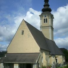
Filialkirche hl. Ruprecht (Bruck an der Mur)
306 m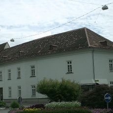
Martinskapelle in Bruck an der Mur, Österreich
303 m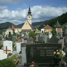
Friedhof christlich
391 m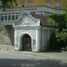
Maria-Hilf-Kapelle
729 m
Hauskapelle Pius-Institut
231 m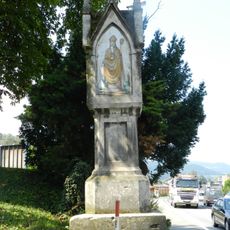
Shrine Leobnerstraße, Austria
318 m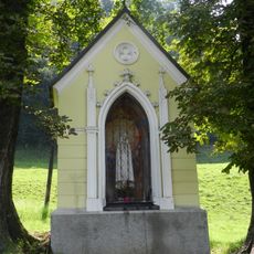
Shrine Lichtensteinstraße, Bruck an der Mur
0 m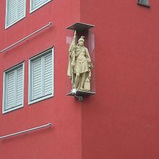
Hauszeichen hl. Florian
673 m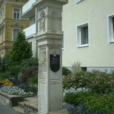
Bildstock
650 m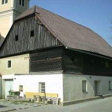
Mesnerhaus
303 m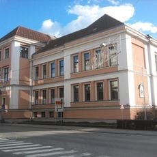
Volksschule Körnerstraße
705 m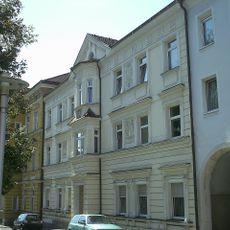
Wohnhaus
614 m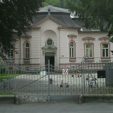
Kindergarten Bruck an der Mur
382 m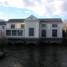
E-Werk Bruck an der Mur
779 m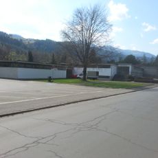
Freibad
780 m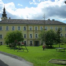
Pius-Institut der Kreuzschwestern
231 m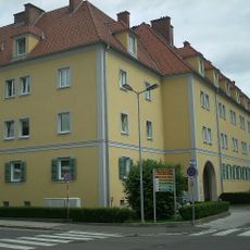
Hahnhof
832 m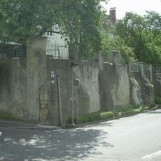
Teile der Stadtbefestigung
729 m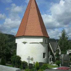
Karner
315 m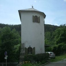
Schifferturm und Teil der Stadtbefestigung
716 m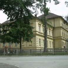
Main building of HBLA Bruck an der Mur
373 m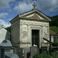
Littmann-Till-Gruft
378 m
Wohnhaus
602 m
Besucherraum E-Werk Murinsel
769 m
Schifferturm
715 m
Rutsche
810 m
Hl. Florian
672 m
Catholic church building, wayside cross, Christianity
220 mReviews
Visited this place? Tap the stars to rate it and share your experience / photos with the community! Try now! You can cancel it anytime.
Discover hidden gems everywhere you go!
From secret cafés to breathtaking viewpoints, skip the crowded tourist spots and find places that match your style. Our app makes it easy with voice search, smart filtering, route optimization, and insider tips from travelers worldwide. Download now for the complete mobile experience.

A unique approach to discovering new places❞
— Le Figaro
All the places worth exploring❞
— France Info
A tailor-made excursion in just a few clicks❞
— 20 Minutes