Wayside shrine
Location: Unterach am Attersee
GPS coordinates: 47.81640,13.50304
Latest update: November 18, 2025 08:17
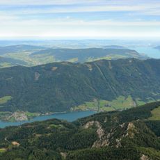
Hochplettspitz
2.6 km
Lasserschlössl, Unterach
1.4 km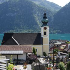
Sankt Bartholomäus
1.6 km
Schloss Unterach
1.9 km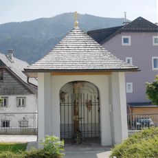
Hofkapelle, Severinkapelle
1.8 km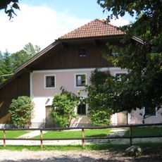
Villa/Landhaus, Berghof
2.4 km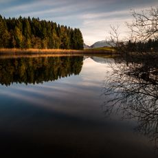
Egelsee und Egelseemoor
1.8 km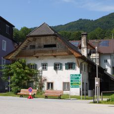
Wohnhaus und Stadel, Lederermayer
1.8 km
Edelkastanienwald
1.1 km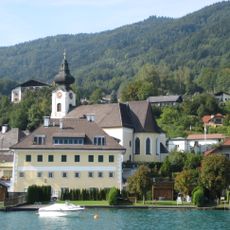
Ehem. Gasthaus Goldenes Schiff
1.6 km
Insel in Unterach
2.3 km
Scenic viewpoint
2.6 km
Wayside shrine
1.1 km
Camping hideaway Attersee
2.7 km
Strandbad Unterach
1.9 km
Jubiläumsbaum
950 m
Scenic viewpoint
2.7 km
Scenic viewpoint
1 km
Waldlehrpfad Edelkastanienwald und Weingarten
1.2 km
Scenic viewpoint
1.2 km
Badewiese
2.1 km
Wayside cross
498 m
Wayside cross
601 m
Wayside shrine, Christianity
1.4 km
Wayside shrine
1.2 km
Klimt-Büste
1.6 km
Waterfall
723 m
Waterfall
821 mReviews
Visited this place? Tap the stars to rate it and share your experience / photos with the community! Try now! You can cancel it anytime.
Discover hidden gems everywhere you go!
From secret cafés to breathtaking viewpoints, skip the crowded tourist spots and find places that match your style. Our app makes it easy with voice search, smart filtering, route optimization, and insider tips from travelers worldwide. Download now for the complete mobile experience.

A unique approach to discovering new places❞
— Le Figaro
All the places worth exploring❞
— France Info
A tailor-made excursion in just a few clicks❞
— 20 Minutes