Wayside cross, Catholic church building
Location: La Roque-Sainte-Marguerite
GPS coordinates: 44.12523,3.22524
Latest update: December 1, 2025 23:27
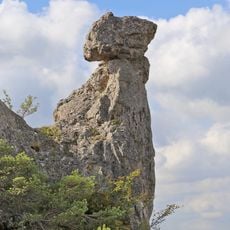
Chaos de Montpellier-le-Vieux
2.2 km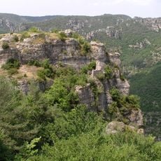
Ermitage Saint-Pierre de La Roque-Sainte-Marguerite
2.2 km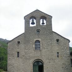
Église Sainte-Marguerite-d'Antobe de La Roque-Sainte-Marguerite
194 m
Grotte des Bouxès
1.3 km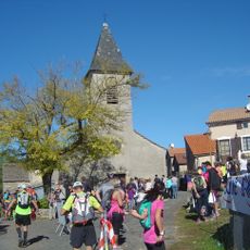
Église Saint-Pierre de Pierrefiche-du-Larzac
2.1 km
Dolmen de la Plaine
3.2 km
Scenic viewpoint
2.5 km
Scenic viewpoint
3.3 km
Scenic viewpoint
1.9 km
Toposcope, scenic viewpoint
2 km
Scenic viewpoint
1.8 km
Scenic viewpoint
3.2 km
Gorges de la Dourbie
1.8 km
Scenic viewpoint
2.2 km
Rochers de Roques Altes
1.5 km
Scenic viewpoint
1 km
Scenic viewpoint
2.2 km
Belvédère
2.1 km
Scenic viewpoint
3.1 km
Scenic viewpoint
3.1 km
La Cité de Pierres
2.3 km
Megalith, menhir, archaeological site
2.9 km
War memorial, memorial
217 m
Catholic church building, wayside cross
121 m
Ruines Ayro Ferrato
2.5 km
Camps d’Altes
2.6 km
Wayside cross
235 m
Wayside cross
2.3 kmVisited this place? Tap the stars to rate it and share your experience / photos with the community! Try now! You can cancel it anytime.
Discover hidden gems everywhere you go!
From secret cafés to breathtaking viewpoints, skip the crowded tourist spots and find places that match your style. Our app makes it easy with voice search, smart filtering, route optimization, and insider tips from travelers worldwide. Download now for the complete mobile experience.

A unique approach to discovering new places❞
— Le Figaro
All the places worth exploring❞
— France Info
A tailor-made excursion in just a few clicks❞
— 20 Minutes