Lavoir
Location: Saint-Jean-aux-Bois
GPS coordinates: 49.34798,2.90555
Latest update: November 12, 2025 05:46
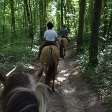
Forest of Compiègne
3.9 km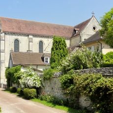
Abbaye de Saint-Jean-aux-Bois
92 m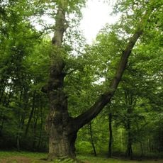
Chêne de Saint Jean
922 m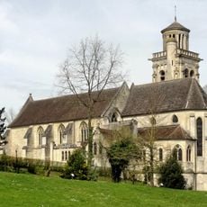
Église Saint-Sulpice de Pierrefonds
5.1 km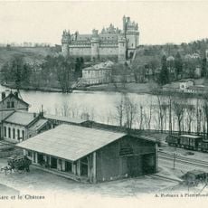
Gare de Pierrefonds
4.8 km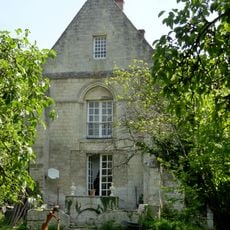
Prieuré Saint-Nicolas-de-Courson
1.7 km
Grands Monts
4.2 km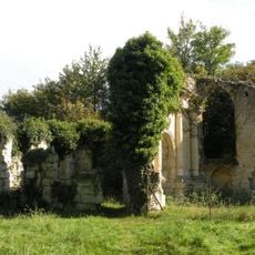
Prieuré de Saint-Pierre-en-Chastres
4.5 km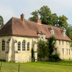
Poste forestier de Sainte-Perrine
2.1 km
Domaine du Bois d'Haucourt
3.9 km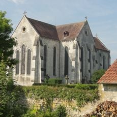
Abbatiale Saint-Jean de Saint-Jean-aux-Bois
86 m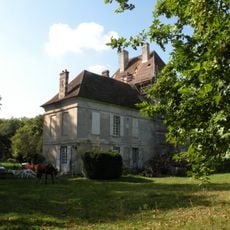
Poste forestier de Saint-Pierre-en-Chastres
4.5 km
Poste forestier de la Muette
2.3 km
Scenic viewpoint
5.1 km
Work of art, statue
2.4 km
Monument
5.2 km
Wayside cross
5.1 km
Memorial
5.1 km
Wayside cross
147 m
Wayside cross
72 m
Memorial, commemorative plaque
93 m
Memorial, commemorative plaque
137 m
Croix de Sainte-Euphrosine
373 m
Memorial
2.1 km
Wayside cross
2.4 km
Memorial, war memorial
75 m
Wayside cross
5 km
Wayside cross
5 kmReviews
Visited this place? Tap the stars to rate it and share your experience / photos with the community! Try now! You can cancel it anytime.
Discover hidden gems everywhere you go!
From secret cafés to breathtaking viewpoints, skip the crowded tourist spots and find places that match your style. Our app makes it easy with voice search, smart filtering, route optimization, and insider tips from travelers worldwide. Download now for the complete mobile experience.

A unique approach to discovering new places❞
— Le Figaro
All the places worth exploring❞
— France Info
A tailor-made excursion in just a few clicks❞
— 20 Minutes