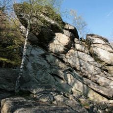
Rinsleyfelsen
2.4 km
Himberg
1.6 km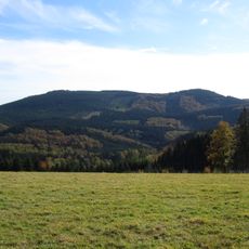
Hoher Lehnberg
2.4 km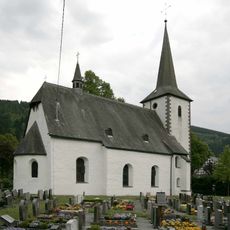
St. Vinzentius (Lenne)
2.6 km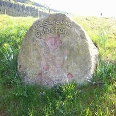
Goldstein
1.3 km
Ringesbach- und oberes Gleierbachtal
2.5 km
Kapelle St. Agatha
1.8 km
Schluchtwald bei Hundesossen
2.3 km
Ortsrandlage Hundesossen
1.9 km
Quellbereich des Gleierbaches und namenloser Zufluss nahe Gleierhaus südlich Bracht
2.7 km
Brachter Bach östlich Bracht
2.8 km
Bruchbach und Witmecke westlich Werntrop
1.9 km
Zusammenfluss von Eimecker Siepen und Burbecke südwestlich Harbecke
2.2 km
Offenlandbereiche um Gleierhaus südlich Bracht
2.6 km
Hüls-Berg
841 m
Auergang
516 m
Goldstein
1.2 km
Ösenberg
836 m
Hoher Hagen
1.6 km
Schluchtwald bei Saalhausen
2.4 km
Scenic viewpoint
2.5 km
Scenic viewpoint
2.6 km
Scenic viewpoint
2.6 km
Greitemannstein
23 m
Wayside shrine
2.4 km
14-Nothelfer-Kapelle
2.4 km
Wayside cross
2.5 km
Wayside shrine
2.7 kmReviews
Visited this place? Tap the stars to rate it and share your experience / photos with the community! Try now! You can cancel it anytime.
Discover hidden gems everywhere you go!
From secret cafés to breathtaking viewpoints, skip the crowded tourist spots and find places that match your style. Our app makes it easy with voice search, smart filtering, route optimization, and insider tips from travelers worldwide. Download now for the complete mobile experience.

A unique approach to discovering new places❞
— Le Figaro
All the places worth exploring❞
— France Info
A tailor-made excursion in just a few clicks❞
— 20 Minutes