Historisch-Technisches Museum – Versuchsstelle Kummersdorf
3 km
Technikmuseum Kummersdorf
3 km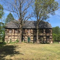
Horstmühle
2.4 km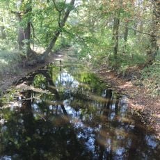
Schöbendorfer Busch
1.5 km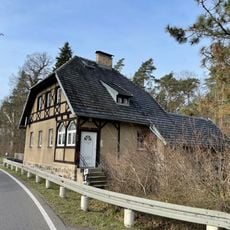
Forsthaus Wunder
871 m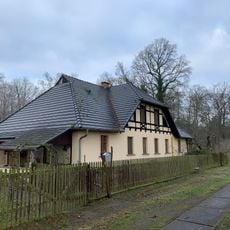
Bombachhaus
2.4 km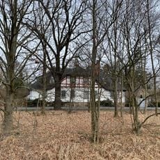
Trompeterhaus (Horstwalde)
2.8 km
Schmelze (Horstwalde)
1.8 km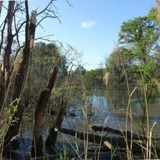
Landschaftsschutzgebiet Baruther Urstromtal und Luckenwalder Heide
1 km
Naturdenkmal Parabeldüne (Düne) 800m N-O; Flur 4; 5, 6; 8 Flurstück 14; 7, 8, 9, 10; 15/1, 15/2; 10/2 in Horstwalde
423 m
Mönnigsee
3.3 km
Schöbendorfer Busch
1 km
Naturdenkmal Traubeneiche (Quercus petrea) (Baum) 1200m nordöstlich Bombachhaus; Flur 10, Flurstück 253 in Paplitz
2.7 km
Naturdenkmal Kiefern- u. Eichen-Bestand (Baumgruppe) 3,7 km ONO Ortsmitte, Revier Wunder, O Mückendorfer Graben,; Flur 7, 6 bzw. 1, Flurstück H: 3 bzw. 15/3, 14; M: 1, 2 in Horstwalde
3.9 km
Naturdenkmal Eichenreihe (Baumreihe) 1,3 km W Friedhof, Weg nach Schönefeld; Flur 3 und 5, Flurstück 71, 72; 54, 55 und 57-61, 67, 78 in Horstwalde
1.7 km
Mönnigsee
3.5 km
Naturdenkmal Waldkiefer (Baum) 3,7 km ONO Ortsmitte, Revier Wunder, O Mückendorfer Graben; Flur 7, Flurstück 3 in Horstwalde
3.7 km
Naturdenkmal Traubeneiche 2 (Quercus petrea) (Baum) 1200m nordöstlich Bombachhaus; Flur 10, Flurstück 253 in Paplitz
2.7 km
Naturdenkmal Zwei Eichen (Baumgruppe) Horstmühle, wenig SW; Flur 3, Flurstück 125, 259 (hist. 190) in Horstwalde
2.4 km
Naturdenkmal Eiche (Baum) Fernneuendorf, 0,2 km SW Friedhof; Flur 2, Flurstück 179, 178 in Fernneuendorf
3.8 km
Naturdenkmal Stieleiche (Quercus robur) (Baum) Schöbendorf, 2,1 km NNO; Hauptkreuzung, O-Spitze NSG Schöbendorfer Busch, Flur 10, Flurstück 253 in Paplitz
2.9 km
Naturdenkmal Dorflinde Horstwalde (Baum) 0,8 km W Friedhof; Flur 2, Flurstück 7/1, 8 in Horstwalde
227 m
Naturdenkmal Stieleiche (Baum) An der Düne (Hauptstraße), Abzweig zur Verkehrsversuchsanlage; Flur 2, Flurstück 79/2, 81/2 in Horstwalde
195 m
Steigungsbahn 1 bis 2. Weltkrieg
1.4 km
Schuttberg
2.4 km
Ruins
3.7 km
300 Jahre Horstwalde - 2020
187 m
Memorial
2.7 kmReviews
Visited this place? Tap the stars to rate it and share your experience / photos with the community! Try now! You can cancel it anytime.
Discover hidden gems everywhere you go!
From secret cafés to breathtaking viewpoints, skip the crowded tourist spots and find places that match your style. Our app makes it easy with voice search, smart filtering, route optimization, and insider tips from travelers worldwide. Download now for the complete mobile experience.

A unique approach to discovering new places❞
— Le Figaro
All the places worth exploring❞
— France Info
A tailor-made excursion in just a few clicks❞
— 20 Minutes