High water mark
Location: Bezirk Mitte
Location: Saarbrücken
Inscription: HOCHWASSER|DEZEMBER 1993
GPS coordinates: 49.21075,7.02213
Latest update: November 20, 2025 03:25
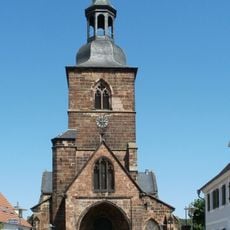
Stiftskirche St. Arnual
813 m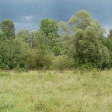
St. Arnualer Wiesen
845 m
St. Pius
635 m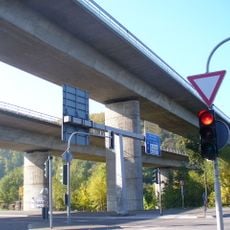
Saartalbrücke
245 m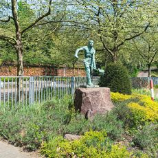
Eisengießer
995 m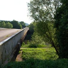
Geisterbrücke
397 m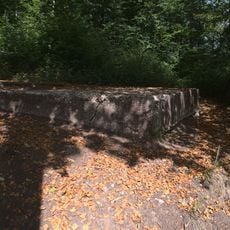
Aussicht auf Güdingen
700 m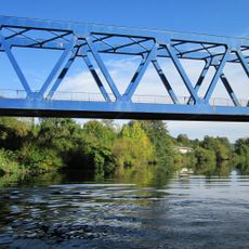
„Blaue Brücke“
819 m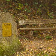
Celtic Stone
778 m
St. Arnualer Wiesen
745 m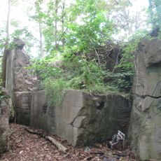
Bunker WH 309a
739 m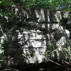
Bunker WH 309
810 m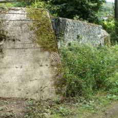
Bunker WH 310
1 km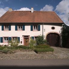
Odakerstraße 4
854 m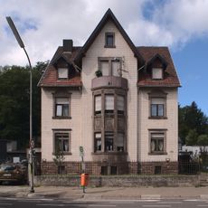
Saargemünder Straße 192
487 m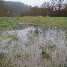
Floodplain Güdingen
619 m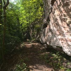
Felsenwege
796 m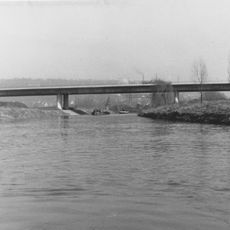
Saartalbrücke
53 m
Dragon's teeth
260 m
Statue, Work of art
730 m
Kettenfabrik
712 m
Keltenburg
788 m
Memorial
1 km
Franziska Guldner
822 m
Emma Bauernfeind
822 m
Josef Klemmer
823 m
Memorial, commemorative plaque
730 m
High water mark
1 mReviews
Visited this place? Tap the stars to rate it and share your experience / photos with the community! Try now! You can cancel it anytime.
Discover hidden gems everywhere you go!
From secret cafés to breathtaking viewpoints, skip the crowded tourist spots and find places that match your style. Our app makes it easy with voice search, smart filtering, route optimization, and insider tips from travelers worldwide. Download now for the complete mobile experience.

A unique approach to discovering new places❞
— Le Figaro
All the places worth exploring❞
— France Info
A tailor-made excursion in just a few clicks❞
— 20 Minutes