
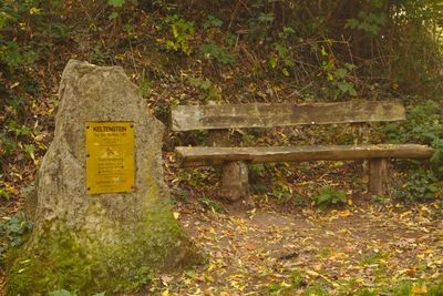
Celtic Stone, Ein Stein, welcher an einen ehemaligen Ringwall erinnert
Location: Saarbrücken
Inception: March 20, 1988
Elevation above the sea: 308 m
Part of: Stiftswald Sankt Arnual
GPS coordinates: 49.20714,7.01297
Latest update: March 10, 2025 02:14
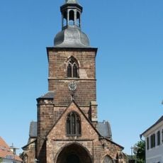
Stiftskirche St. Arnual
1.2 km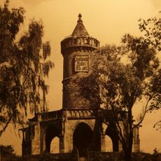
Winterbergdenkmal
1.7 km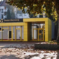
Theater Überzwerg
1.5 km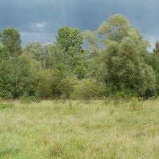
St. Arnualer Wiesen
1.5 km
Stockenbruch 10
1.7 km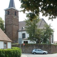
Evangelische Kirche Güdingen
1.4 km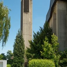
St. Pius
911 m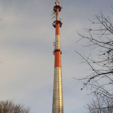
Sender Saarbrücken-Winterberg
1.7 km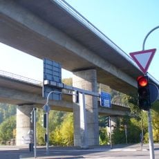
Saartalbrücke
618 m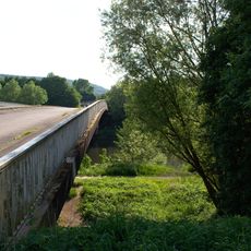
Geisterbrücke
1.1 km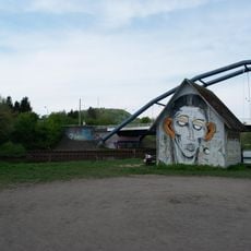
Die Mühle
1.6 km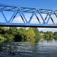
„Blaue Brücke“
645 m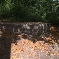
Aussicht auf Güdingen
272 m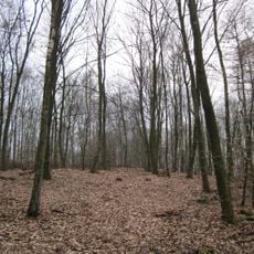
Stiftswald St. Arnual
1.3 km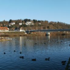
Güdinger Brücke
1.6 km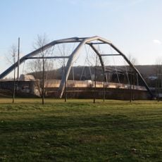
Ostspange
1.6 km
Landschaftsschutzgebiet Stiftswald Und Felsenwege St. Arnual
913 m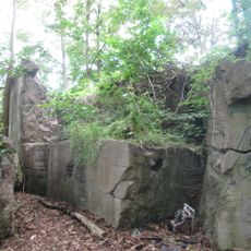
Bunker WH 309a
1.5 km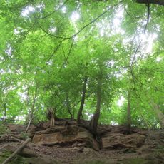
Winterberg
1.7 km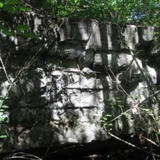
Bunker WH 309
1.5 km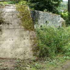
Bunker WH 310
1.7 km
Odakerstraße 4
1.2 km
Almet
1.2 km
Saargemünder Straße 192
824 m
Floodplain Güdingen
495 m
Felsenwege
364 m
Saartalbrücke
783 m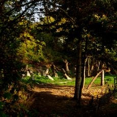
Dragon's teeth
709 mReviews
Visited this place? Tap the stars to rate it and share your experience / photos with the community! Try now! You can cancel it anytime.
Discover hidden gems everywhere you go!
From secret cafés to breathtaking viewpoints, skip the crowded tourist spots and find places that match your style. Our app makes it easy with voice search, smart filtering, route optimization, and insider tips from travelers worldwide. Download now for the complete mobile experience.

A unique approach to discovering new places❞
— Le Figaro
All the places worth exploring❞
— France Info
A tailor-made excursion in just a few clicks❞
— 20 Minutes