Anchor
Location: Bezirk Halberg
Location: Saarbrücken
Inscription: Wasser- und Schiffahrtsamt Saarbrücken|Außenbezirk Saarbrücken
Made from material: metal
GPS coordinates: 49.19759,7.02647
Latest update: November 20, 2025 03:27
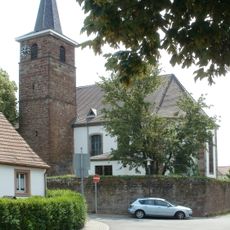
Evangelische Kirche Güdingen
252 m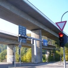
Saartalbrücke
1.3 km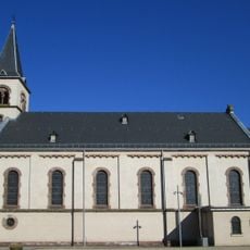
Maria Hilf
2 km
Gemeindewaeldchen Guedingen (Parz. Nr.93/28 in Flur 14, Gemarkung Guedingen)
698 m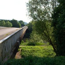
Geisterbrücke
1.9 km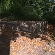
Aussicht auf Güdingen
1.2 km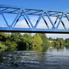
„Blaue Brücke“
816 m
Work of art, sculpture
1.8 km
Work of art, sculpture
1.8 km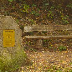
Celtic Stone
1.4 km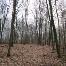
Stiftswald St. Arnual
1.9 km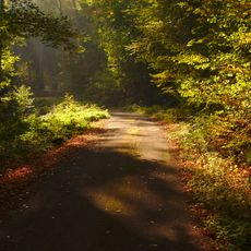
Landschaftsschutzgebiet Stiftswald Und Felsenwege St. Arnual
1.9 km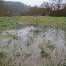
Floodplain Güdingen
1 km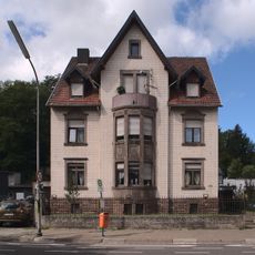
Saargemünder Straße 192
1.9 km
Stiftswald und Felsenwege St. Arnual
1.9 km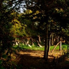
Dragon's teeth
1.7 km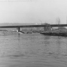
Saartalbrücke
1.5 km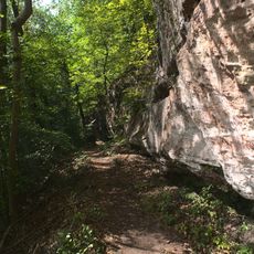
Felsenwege
1.1 km
Ich-habe-fertig-Horress
815 m
Work of art, sculpture
468 m
Scenic viewpoint
477 m
Cliff, scenic viewpoint
1.8 km
Keltenburg
1.4 km
High water mark
184 m
High water mark
1.5 km
High water mark
1.5 km
Woanersch Haus
283 m
Memorial, war memorial
2 kmReviews
Visited this place? Tap the stars to rate it and share your experience / photos with the community! Try now! You can cancel it anytime.
Discover hidden gems everywhere you go!
From secret cafés to breathtaking viewpoints, skip the crowded tourist spots and find places that match your style. Our app makes it easy with voice search, smart filtering, route optimization, and insider tips from travelers worldwide. Download now for the complete mobile experience.

A unique approach to discovering new places❞
— Le Figaro
All the places worth exploring❞
— France Info
A tailor-made excursion in just a few clicks❞
— 20 Minutes