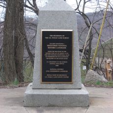
Beginning Point of the U.S. Public Land Survey
8.2 km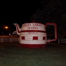
Chester teapot
10.9 km
Beaver Creek State Park
6 km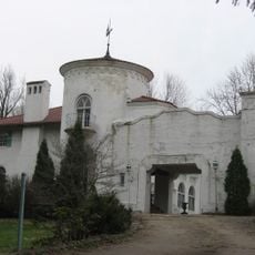
Richard L. Cawood Residence
8.1 km
State Game Lands Number 285
10.5 km
Beaver Creek State Forest
2.8 km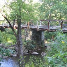
Watts Mill Bridge
9.6 km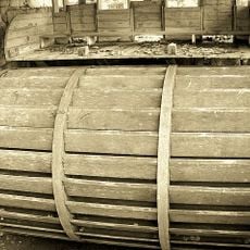
Gaston's Mill-Lock No. 36, Sandy and Beaver Canal District
6 km
State Game Lands Number 173
7.8 km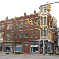
Diamond Historic District
10.9 km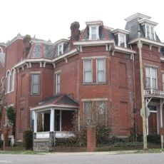
Ikirt House
10.8 km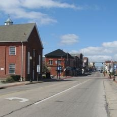
Salem Downtown Historic District
8.1 km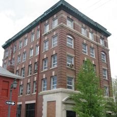
Potters Savings and Loan
10.9 km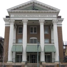
Elks Club
10.9 km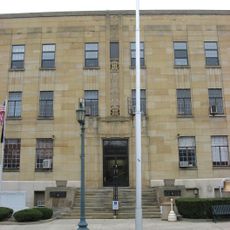
City Hall
10.9 km
Odd Fellows Temple
10.7 km
East Fifth Street Historic District
10.9 km
Diamond Historic District
10.8 km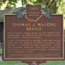
Thomas J. Malone Bridge
6 km
Beaver Creek Meadows Golf Course
6.9 km
Indian Rock
10.8 km
East Liverpool High School Auditorium
9.8 km
Scenic viewpoint
10.7 km
Scenic viewpoint
10.1 km
Lower Sheepskin Hollow Falls
3.6 km
Upper Sheepskin Hollow Falls
4 km
Purgatory Falls
2.3 km
Fredericktown Falls
1.1 kmReviews
Visited this place? Tap the stars to rate it and share your experience / photos with the community! Try now! You can cancel it anytime.
Discover hidden gems everywhere you go!
From secret cafés to breathtaking viewpoints, skip the crowded tourist spots and find places that match your style. Our app makes it easy with voice search, smart filtering, route optimization, and insider tips from travelers worldwide. Download now for the complete mobile experience.

A unique approach to discovering new places❞
— Le Figaro
All the places worth exploring❞
— France Info
A tailor-made excursion in just a few clicks❞
— 20 Minutes