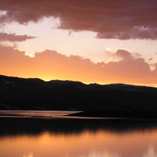
Strawberry Reservoir
19.4 km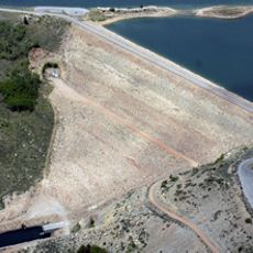
Soldier Creek Dam
24.5 km
Strawberry Bay Marina
18 km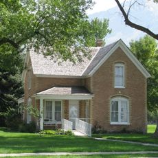
Roswell Darius Bird Sr. House
25.4 km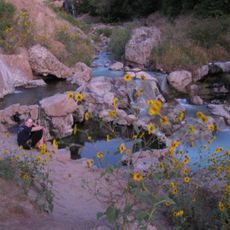
Fifth Water Hot Springs
3.5 km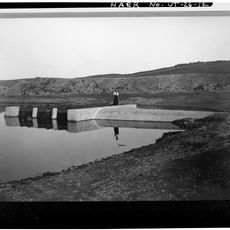
East Portal
15.3 km
Soldier Creek Dam Day Use Area
24.3 km
Diamond Battle Historical Monument
13.7 km
Soldier Summit Cemetery
23.5 km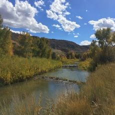
Spanish Fork Canyon
25.8 km
Dripping Rock Trail
26 km
Maple Canyon
23.6 km
Jackson Wildlife Management Area
24.8 km
Pole Canyon
21.6 km
Loafer Mountain Wildlife Management Area
25.7 km
Spanish Fork River Trail
25.9 km
Soldier Creek Reservoir
19.5 km
Hobble Creek Golf Course
21.8 km
Strawberry River Day Use Area
24.3 km
Spanish Fork Cross
25.6 km
Clear Creek Canyon
15.5 km
Old Locomotive 453
13.6 km
Strawberry Bay Amphitheater
17.9 km
Chaplain Point
15.2 km
Alvord Overlook
18.6 km
Scenic viewpoint
6.3 km
Waterfall
3.4 km
Waterfall
16.6 kmReviews
Visited this place? Tap the stars to rate it and share your experience / photos with the community! Try now! You can cancel it anytime.
Discover hidden gems everywhere you go!
From secret cafés to breathtaking viewpoints, skip the crowded tourist spots and find places that match your style. Our app makes it easy with voice search, smart filtering, route optimization, and insider tips from travelers worldwide. Download now for the complete mobile experience.

A unique approach to discovering new places❞
— Le Figaro
All the places worth exploring❞
— France Info
A tailor-made excursion in just a few clicks❞
— 20 Minutes