
Cannon
Location: Kungälvs kommun
Website: https://photos.app.goo.gl/55ACzKWoaZpDKFmG7
Website: https://photos.app.goo.gl/55ACzKWoaZpDKFmG7
GPS coordinates: 57.86154,12.00041
Latest update: November 8, 2025 08:25
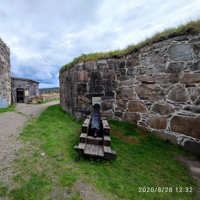
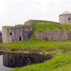
Bohus Fortress
73 m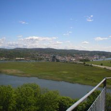
Jordfallsbron
852 m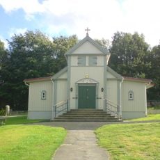
Rödbo Church
674 m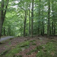
Fontin
1.4 km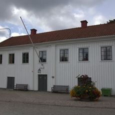
Kungälv city hall
503 m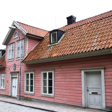
Uddmanska huset
683 m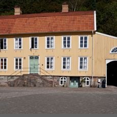
Strandska huset
590 m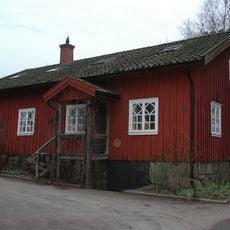
Schwartzska huset
836 m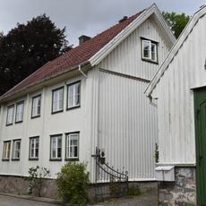
Thorildska huset
608 m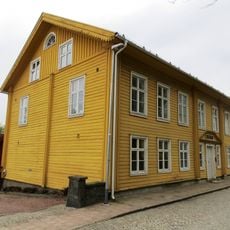
Zetterlöfska huset
634 m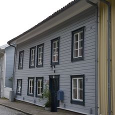
Lundholmska huset
817 m
Trappan
1.3 km
Oxhagen övre
1.2 km
Rödbo 1:1
506 m
Oxhagen nedre
1 km
Kungälv 19:1
150 m
Rödbo 2:1
1.4 km
Kungälv 17:1
1.3 km
Rödbo 35:1
649 m
Trappan Bio
1.3 km
Krukan
1.3 km
Scenic viewpoint
143 m
Scenic viewpoint
611 m
Scenic viewpoint
876 m
Bench, scenic viewpoint
461 m
Scenic viewpoint
595 m
Scenic viewpoint
902 m
Scenic viewpoint
784 mReviews
Visited this place? Tap the stars to rate it and share your experience / photos with the community! Try now! You can cancel it anytime.
Discover hidden gems everywhere you go!
From secret cafés to breathtaking viewpoints, skip the crowded tourist spots and find places that match your style. Our app makes it easy with voice search, smart filtering, route optimization, and insider tips from travelers worldwide. Download now for the complete mobile experience.

A unique approach to discovering new places❞
— Le Figaro
All the places worth exploring❞
— France Info
A tailor-made excursion in just a few clicks❞
— 20 Minutes