
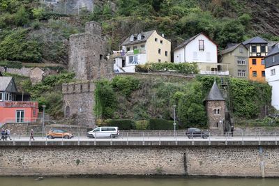
Water level measuring tower
Location: Cochem
Website: https://elwis.de/DE/dynamisch/gewaesserkunde/wasserstaende/index.php?target=2&pegelId=768df4e9-ed5a-4141-901b-e25ac404d559
Address: Moselpromenade 36, 56812 Cochem, Germany 56812 Cochem
GPS coordinates: 50.14287,7.16832
Latest update: November 16, 2025 12:16
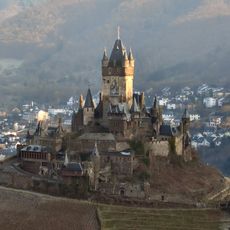
Reichsburg Cochem
123 m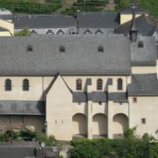
Kapuzinerkloster Cochem
408 m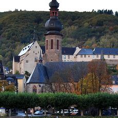
St Martin (Cochem)
381 m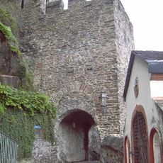
Martin city gate
32 m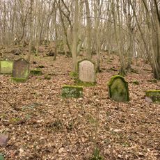
Alter jüdischer Friedhof
399 m
Museum Galerie Steib
391 m
Augustinerinnenkloster (Martinsklause) Cochem
383 m
Water well
138 m
I.
332 m
Scenic viewpoint
273 m
2. Burgtor
141 m
II.
331 m
Christianity, wayside shrine
391 m
III.
365 m
Weinbergshäuschen
265 m
3. Burgtor
91 m
1. Burgtor
163 m
Monument
120 m
Scenic viewpoint
311 m
Hochwasser Dezember 93
359 m
Sieben Fußfälle
397 m
Sieben Fußfälle
405 m
Wayside cross
380 m
Wayside cross
380 m
Wayside cross
390 m
Wayside cross
384 m
Wayside cross
396 m
Cannon
88 mReviews
Visited this place? Tap the stars to rate it and share your experience / photos with the community! Try now! You can cancel it anytime.
Discover hidden gems everywhere you go!
From secret cafés to breathtaking viewpoints, skip the crowded tourist spots and find places that match your style. Our app makes it easy with voice search, smart filtering, route optimization, and insider tips from travelers worldwide. Download now for the complete mobile experience.

A unique approach to discovering new places❞
— Le Figaro
All the places worth exploring❞
— France Info
A tailor-made excursion in just a few clicks❞
— 20 Minutes