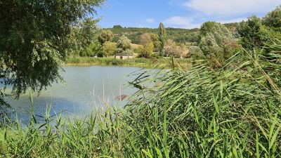
Plan d'eau de Monieux
The Plan d'eau de Monieux is a small lake at the foot of Monieux village, near the entrance to the Nesque canyon. The water sits quietly among trees, and there is a fenced playground for children along with a small snack bar nearby.
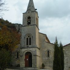
The lake was created to provide a place of rest for the people of Monieux and has been part of village life for generations. The village itself dates back to the Middle Ages, when it was built close to the cliffs for protection.
The lake serves as a meeting point for families from the area, who gather to spend time together and have small cookouts. Local anglers regularly visit and spend quiet hours by the shore with their fishing rods.
The lake is accessible all year and is just a short walk from the village center. Visitors find shade under the willows and can use the playground or explore the nearby hiking trails.
The long branches of the weeping willows hang so low over the water that they touch the surface when the breeze blows. On some mornings, the sky reflects so clearly in the water that it is hard to tell where the water ends and the air begins.
The community of curious travelers
AroundUs brings together thousands of curated places, local tips, and hidden gems, enriched daily by 60,000 contributors worldwide.