Bloomingdale Trail, Elevated rail trail in Chicago, United States
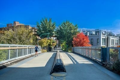
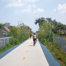
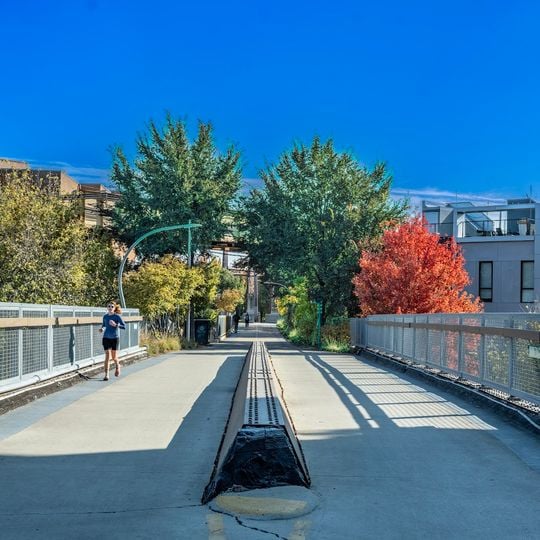
The Bloomingdale Trail is an elevated path built on an old rail line in Chicago, United States, with a ten-foot-wide asphalt strip for walking, running, and cycling. It stretches nearly three miles through Logan Square, Humboldt Park, Wicker Park, and Bucktown, with native grasses, flowers, and old railway tracks still visible along the edges.
The route began as a freight rail line through Chicago in the late 1800s, carrying goods in and out of the city for decades. After the line stopped being used, local groups pushed to turn the elevated corridor into a public trail, which opened as the Bloomingdale Trail in 2015.
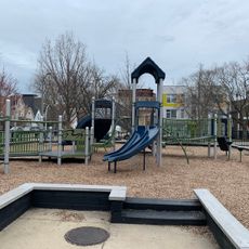
Murals and community-made art installations appear along the walls and access ramps, often painted by local artists to reflect stories from the surrounding neighborhoods. On weekends, small parks beside the path host food stands and craft markets where residents gather and chat.
Wear comfortable shoes and bring water, since the path has water fountains but little shade on sunny days. The route has ramps at access points for strollers and wheelchairs, and keeping to the right makes passing easier during crowded morning and evening hours.
At the far western end, a small observatory with a stone circle invites visitors to stop and watch sunsets or night stars, built to align with the changing seasons. Less obvious is the ongoing citizen science project where walkers log blooming flowers and migrating birds to help track how wildlife responds to the trail's elevated green space.
The community of curious travelers
AroundUs brings together thousands of curated places, local tips, and hidden gems, enriched daily by 91,402 contributors worldwide.