Hlučín, municipality of the Czech Republic
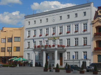
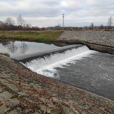
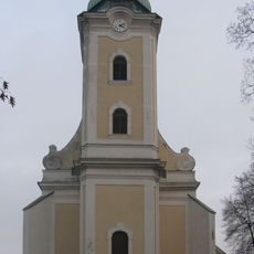
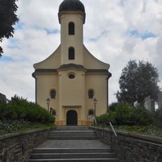
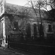
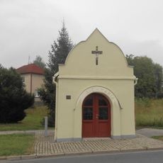
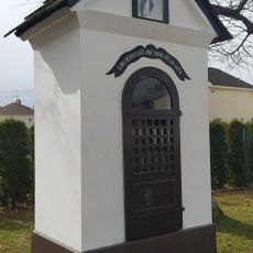
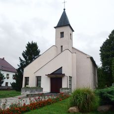
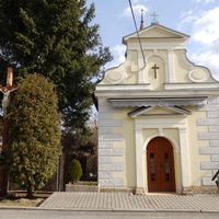
Hlučín is a town in Opava District, Czech Republic, located near the Opava River about ten kilometers northwest of Ostrava. The center features old buildings arranged around a main square with a church, while surrounding green spaces and water features offer places for walking and outdoor activities.
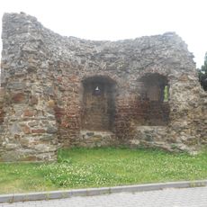
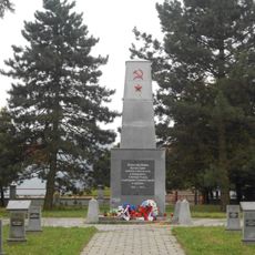
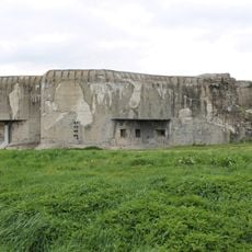
The town was first documented in 1303 as part of the Landskron castle estate and is believed to have been founded by Czech king Přemysl Otakar II. Over centuries, the town changed hands several times and experienced alternating periods of conflict and stability that shaped its development.
The town hosts regular festivals and markets throughout the year where residents celebrate local traditions and crafts. These gatherings help preserve customs and create spaces where the community comes together to share food, handmade goods, and stories.
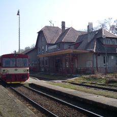
The town is easily reached by road and public transport from nearby areas and Ostrava, making visits convenient for exploration. Local guesthouses and private rooms offer lodging options, while marked walking and cycling trails lead through the surrounding countryside.
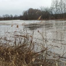
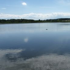
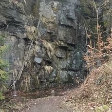
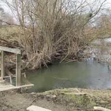
The surrounding landscape features a lake now used for swimming and relaxation, along with flat terrain dotted with meadows and forests ideal for walking. Nearby attractions include Hukvaldy Castle and an open-air museum that preserves traditional crafts and folk customs in tangible ways.
The community of curious travelers
AroundUs brings together thousands of curated places, local tips, and hidden gems, enriched daily by 60,000 contributors worldwide.