
Kaly, village in Brno-venkov District of South Moravian region
Location: Тишнов
Location: Brno-Country District
Location: Тишнов
Elevation above the sea: 437 m
Shares border with: Štěpánovice, Borač, Dolní Loučky, Horní Loučky, Pernštejnské Jestřabí
Email: obec@kaly.cz
Website: http://kaly.cz
GPS coordinates: 49.37935,16.35163
Latest update: March 12, 2025 08:41
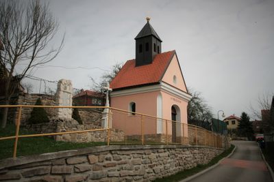
Chapel of the Virgin Mary of the Rosary
2.4 km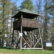
Křivoš
1.6 km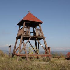
Rozhledna Babylón
853 m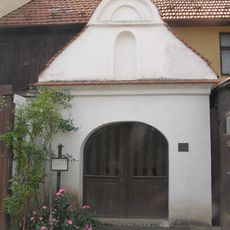
Chapel of Saints Cyril and Methodius (Štěpánovice)
2.5 km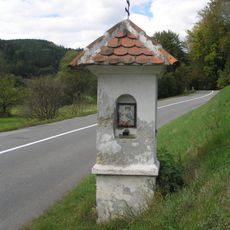
Column shrine in Borač
2.5 km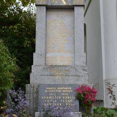
Pomník padlým ve světových válkách
2.4 km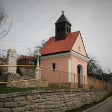
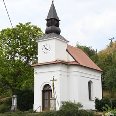
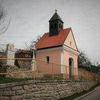
Chapel of Saint Mary Magdalene
74 m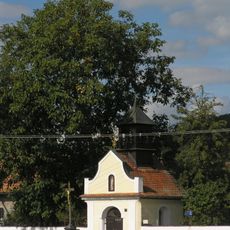
Chapel of Saint Anne
2.7 km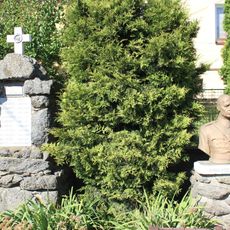
Pomník obětem první světové války
1.5 km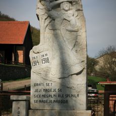
World War I memorial in Zahrada
869 m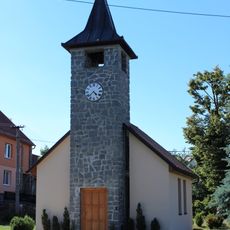
Chapel of the Assumption of the Virgin Mary
1.6 km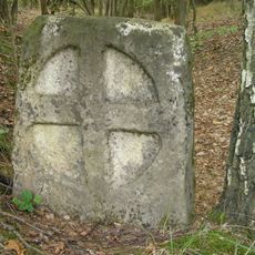
Smírčí kámen
2.3 km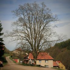
Lípa Svobody
878 m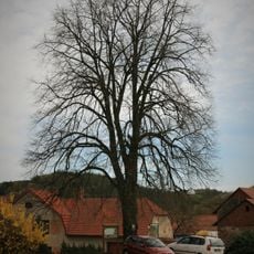
Kalovská lípa
105 m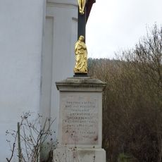
Kříž
2.4 km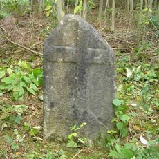
Smírčí kámen
2.3 km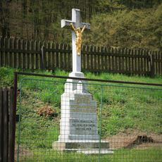
Wayside cross in Zahrada, near chapel
591 m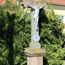
Kříž
1.5 km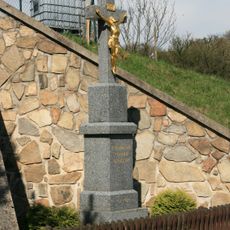
Wayside cross in Zahrada
1.2 km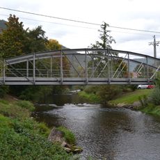
Iron truss arch bridge in Borač
2.5 km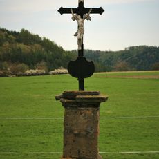
Kříž
317 m
Busta Hynka Kokojana
1.5 km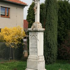
Wayside cross in Kaly
216 m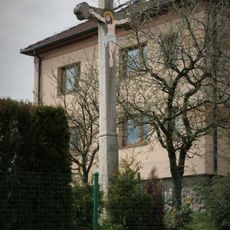
Wayside cross in Kaly
101 m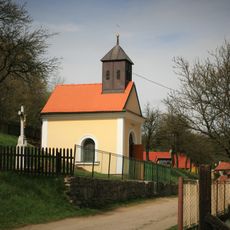
Chapel of Saint Mary Magdalene
580 m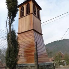
Bell tower in Podolí
2.6 km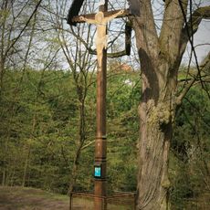
Wooden wayside cross in Zahrada
355 m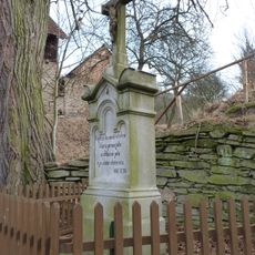
Kříž
2.6 kmVisited this place? Tap the stars to rate it and share your experience / photos with the community! Try now! You can cancel it anytime.

Discover hidden gems everywhere you go!
From secret cafés to breathtaking viewpoints, skip the crowded tourist spots and find places that match your style. Our app makes it easy with voice search, smart filtering, route optimization, and insider tips from travelers worldwide. Download now for the complete mobile experience.

A unique approach to discovering new places❞
— Le Figaro
All the places worth exploring❞
— France Info
A tailor-made excursion in just a few clicks❞
— 20 Minutes