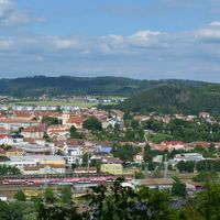
Тишнов, Administrative district in South Moravian Region, Czech Republic.
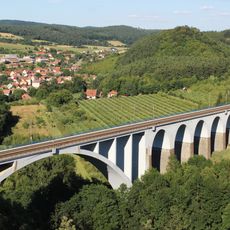
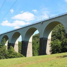
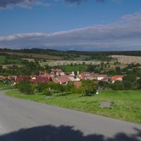
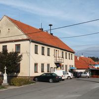
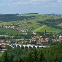
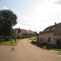
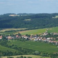
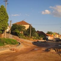
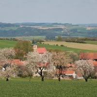
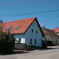
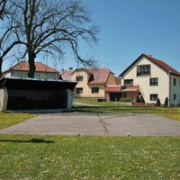
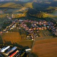
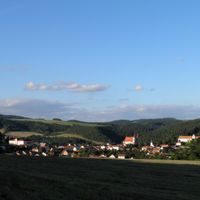
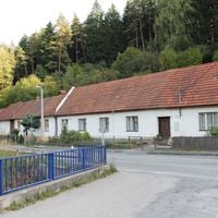
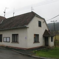
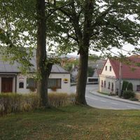
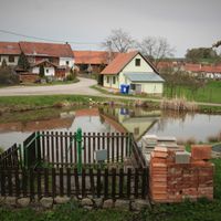
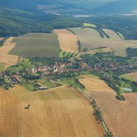
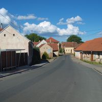
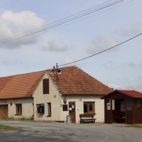
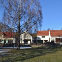
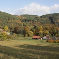
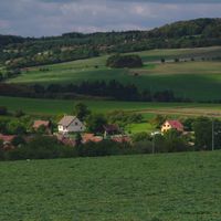
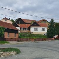
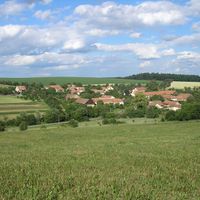
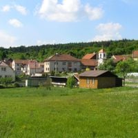
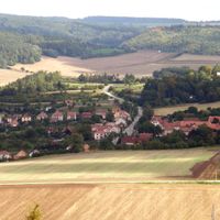
Tišnov is an administrative district in South Moravian Region managing 59 municipalities across different landscapes. The area ranges from forested hills in the north to agricultural plains in the south, providing varied environments for its constituent communities.
The district was established in 2003 during a comprehensive administrative reform of the Czech Republic to improve regional governance. This change was part of a larger effort to modernize municipal administration structures across the country.
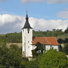
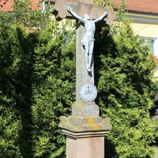
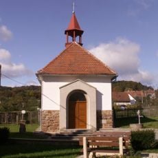
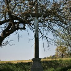
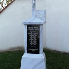
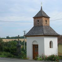
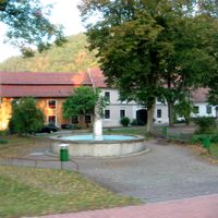
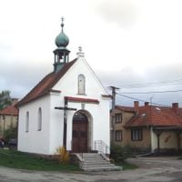
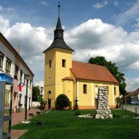
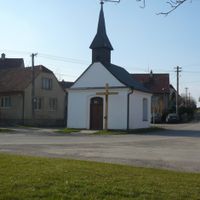
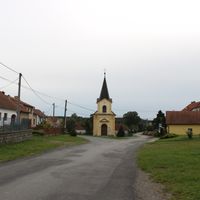
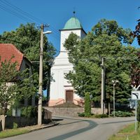
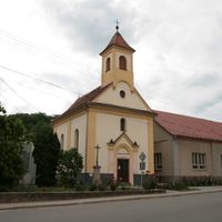
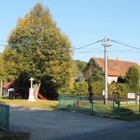
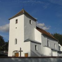
The municipalities within this district preserve regional traditions through regular events that showcase Moravian music, crafts, and local food specialties. Visitors can encounter these cultural practices in village centers and at community celebrations throughout the area.
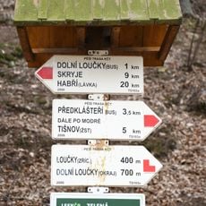
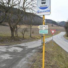
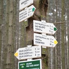
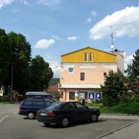
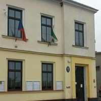
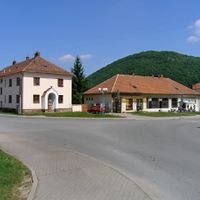
The district capital is connected by regular bus services to Brno and surrounding communities, providing administrative services for all residents. Visitors can find central services and information for administrative matters across the entire area.
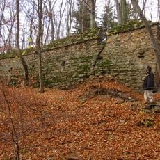
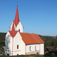
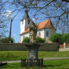
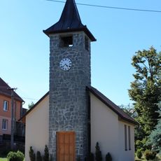
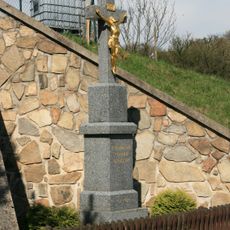
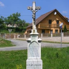
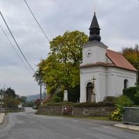
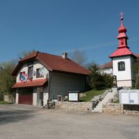
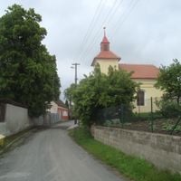
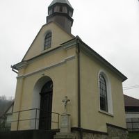
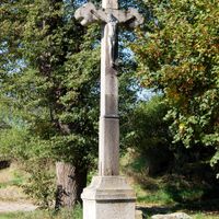
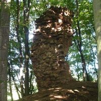
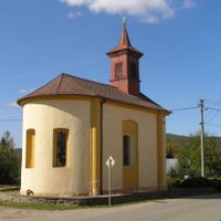
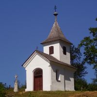
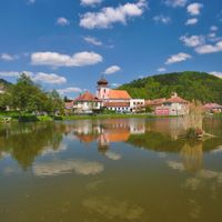
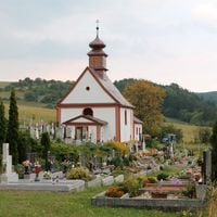
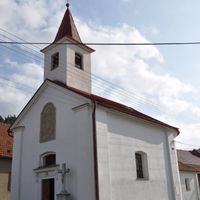
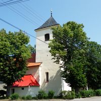
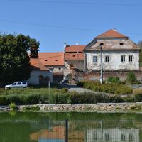
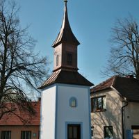
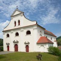
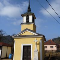
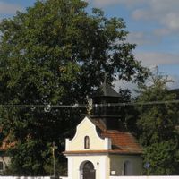
The district contains several medieval structures including Pernštejn Castle, which remains in good condition. These buildings span different periods and demonstrate the long settlement history of the area.
Location: Brno-Country District
Inception: January 1, 2003
Capital city: Tišnov
GPS coordinates: 49.35000,16.35000
Latest update: December 14, 2025 16:41
Most Míru
660 m
Loučky Castle
1.3 km
Railway bridge in Mezihoří
1.5 km
Church of Saint Martin
1.3 km
Kostel svatého Jiljí
2 km
Pomník obětem první světové války
2.1 km
Wayside cross in Kuřimské Jestřabí
2.8 km
Socha svatého Jana Nepomuckého
1.3 km
Chapel of the Assumption
1.8 km
Lípa u Jánečka
1.3 km
Chapel of the Assumption of the Virgin Mary
2 km
Babyka u Chytálek
1.5 km
Kříž
2.1 km
Wayside cross in Zahrada
2.8 km
Rozcestník Dolní Loučky - žst.
755 m
Rural holy picture in Újezd u Tišnova
1.4 km
Kříž
1.7 km
Busta Hynka Kokojana
2.1 km
Chapel of Saint John of Nepomuk
2.7 km
Wayside cross in Kuřimské Jestřabí
2.8 km
Wayside cross in Chytálky
1.1 km
Wayside cross in Újezd u Tišnova
2.5 km
Wayside cross in Újezd u Tišnova
2.1 km
Rozcestník Mezihoří
1.1 km
Wayside cross in Kuřimské Jestřabí
2.8 km
Pomník padlým v Újezdě u Tišnova
2 km
Rozcestník Dolní Loučky - rozc.
951 m
Rozcestník Mírová - rozc.
1.3 kmVisited this place? Tap the stars to rate it and share your experience / photos with the community! Try now! You can cancel it anytime.
Borač
Borovník
Braníškov
Brumov
Bukovice
Běleč
Březina
Deblín
Dolní Loučky
Doubravník
Drahonín
Drásov
Heroltice
Hluboké Dvory
Horní Loučky
Hradčany
Kaly
Katov
Kuřimská Nová Ves
Kuřimské Jestřabí
Křižínkov
Lažánky
Lomnice
Lomnička
Lubné
Malhostovice
Maršov
Nedvědice
Nelepeč-Žernůvka
Níhov
Ochoz u Tišnova
Olší
Osiky
Pernštejnské Jestřabí
Předklášteří
Rašov
Rohozec
Rojetín
Sentice
Skalička
Skryje
Strhaře
Svatoslav
Synalov
Tišnov
Tišnovská Nová Ves
Unín
Vohančice
Vratislávka
Všechovice
Zhoř
Újezd u Tišnova
Úsuší
Černvír
Řikonín
Šerkovice
Štěpánovice
Železné
Žďárec
Discover hidden gems everywhere you go!
From secret cafés to breathtaking viewpoints, skip the crowded tourist spots and find places that match your style. Our app makes it easy with voice search, smart filtering, route optimization, and insider tips from travelers worldwide. Download now for the complete mobile experience.
A unique approach to discovering new places❞
— Le Figaro
All the places worth exploring❞
— France Info
A tailor-made excursion in just a few clicks❞
— 20 Minutes