
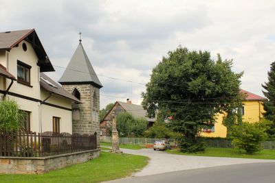
Modřišice, village in Semily District of Liberec region
Location: Semily District
Location: Турнов
Elevation above the sea: 243 m
Shares border with: Olešnice, Turnov, Všeň, Přepeře
Email: ou_modrisice@volny.cz
Website: http://modrisice.cz
GPS coordinates: 50.57413,15.11943
Latest update: April 9, 2025 17:55
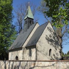
Church of Saint John the Baptist
1.5 km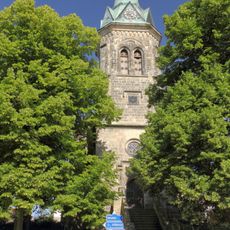
Church of Saint James the Greater in Přepeře
1 km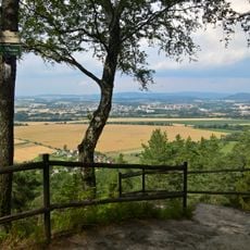
Raisova vyhlídka
1.5 km
Vústra
1.8 km
Hussite church
1.4 km
Rectory in Přepeře
1.1 km
Socha svatého Jana Nepomuckého u rozcestí jižně od Modřišic
471 m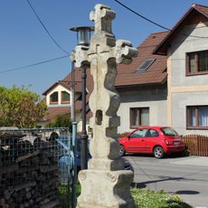
Crucifix (Mašov, Turnov)
1.8 km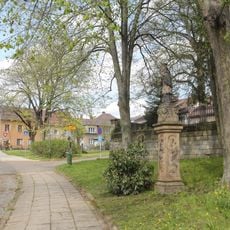
Socha svatého Jana Nepomuckého u kostela v Přepeřích
1 km
Sluneční kaple
1.9 km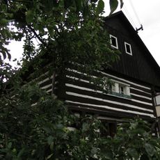
Usedlost při čp. 10
43 m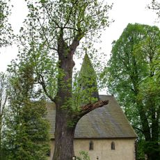
Nudvojovický jasan
1.5 km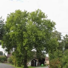
Platan v Modřišicích
35 m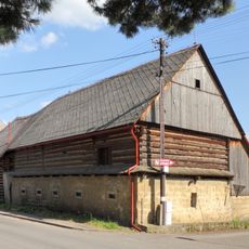
Přepeře 19
987 m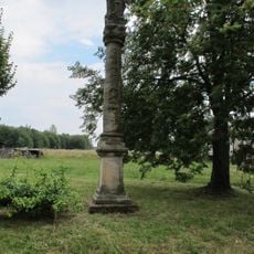
Sloup se sochou Panny Marie v Kareřavci
1.5 km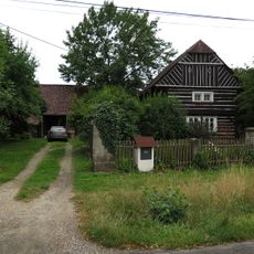
Usedlost čp. 14
86 m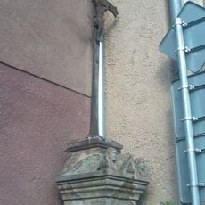
Crucifix at Přepeře čp. 57
1.1 km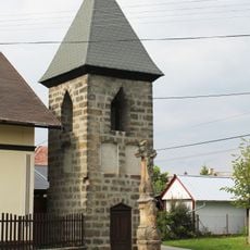
Krucifix
58 m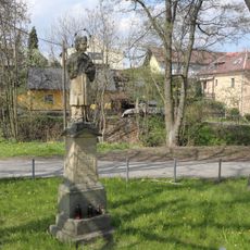
Socha svatého Jana Nepomuckého proti domu 334 v Přepeřích
1 km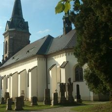
Hřbitov Přepeře
1 km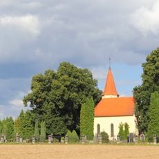
Cemetery in Přepeře
1.3 km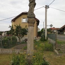
Sloup se sochou Panny Marie
1.7 km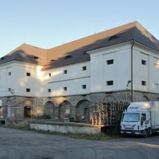
Granary
1.5 km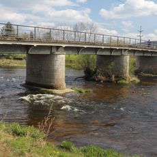
Bridge over the Jizera in Přepeře
954 m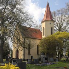
Cemetery chapel in Přepeře
1.3 km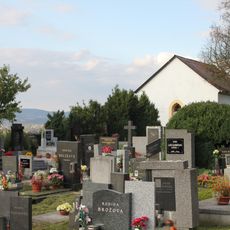
Hřbitov Všeň
1.9 km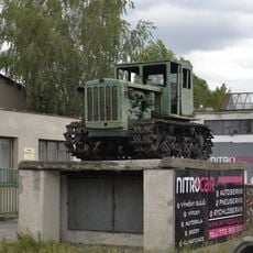
Historický traktor v Přepeřích
1.3 km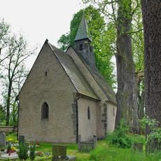
Cemetery in Nudvojovice
1.5 kmReviews
Visited this place? Tap the stars to rate it and share your experience / photos with the community! Try now! You can cancel it anytime.
Discover hidden gems everywhere you go!
From secret cafés to breathtaking viewpoints, skip the crowded tourist spots and find places that match your style. Our app makes it easy with voice search, smart filtering, route optimization, and insider tips from travelers worldwide. Download now for the complete mobile experience.

A unique approach to discovering new places❞
— Le Figaro
All the places worth exploring❞
— France Info
A tailor-made excursion in just a few clicks❞
— 20 Minutes