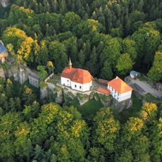
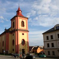
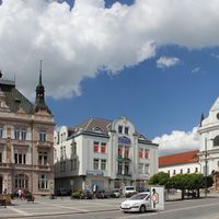
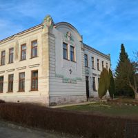
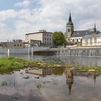
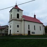
Semily District, Administrative district in Liberec Region, Czech Republic
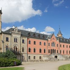
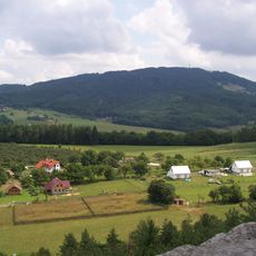
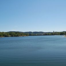
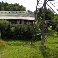
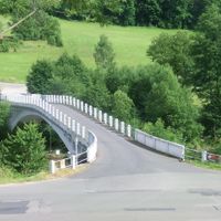
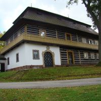
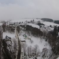
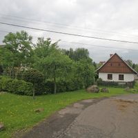
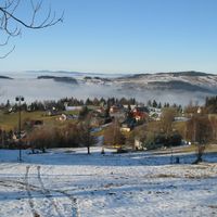
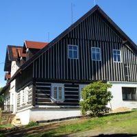
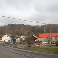
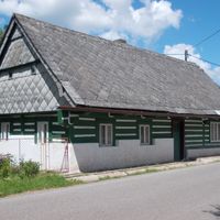
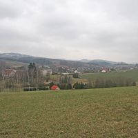
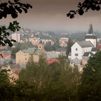
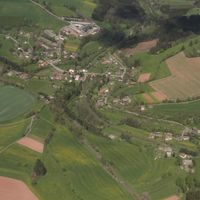
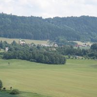
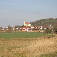
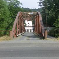
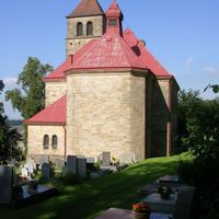
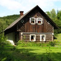
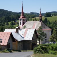
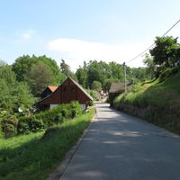
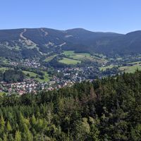
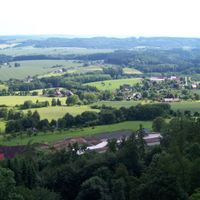
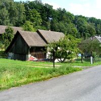
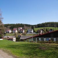
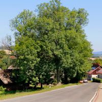
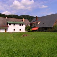
Semily District is an administrative area in the Liberec Region covering approximately 662 square kilometers of diverse landscape. The territory stretches from mountainous terrain in the north to rolling hills in the south and is managed through three main administrative centers.
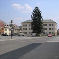
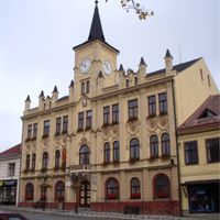
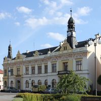
The district was established in its present form during a major administrative reorganization in 1960 when Czechoslovakia restructured its territorial divisions. Semily became the central administrative hub from that point forward.
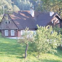
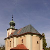
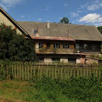
The district maintains traditional pastry-making customs that are celebrated at local festivals throughout the year. These baking practices reflect the region's heritage and bring communities together regularly.
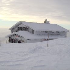
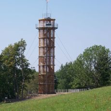
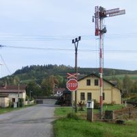
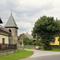
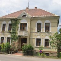
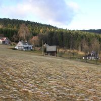
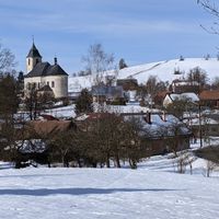
Visitors should know that administrative services are distributed among three main centers: Semily, Jilemnice, and Turnov. Spring and autumn months offer the best conditions for exploring the region's varied landscapes and natural features.
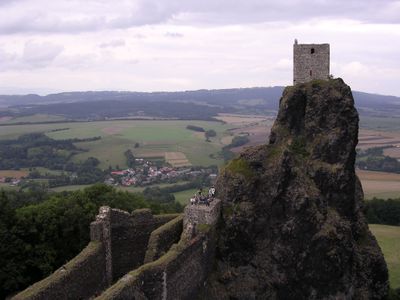
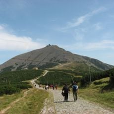
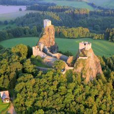
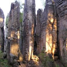
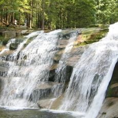
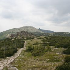
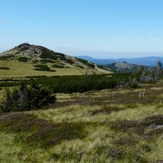
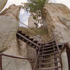
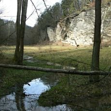
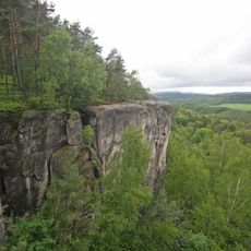
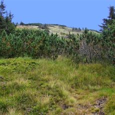
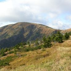
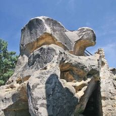
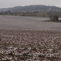
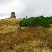
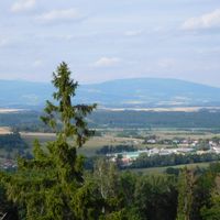
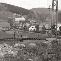
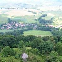
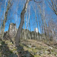
The district displays a striking difference in elevation between the Jizera River valley at 236 meters and Kotel Mountain exceeding 1,400 meters. This dramatic topography creates distinct ecological zones and geological diversity within a relatively compact area.
Location: Liberec Region
Location: East Bohemian Region
Capital city: Semily
Shares border with: Mladá Boleslav District, Trutnov District, Jablonec nad Nisou District, Jičín District, Liberec District
GPS coordinates: 50.60278,15.33444
Latest update: December 10, 2025 16:01
Karkonosze National Park
28.8 km
Kost Castle
18.9 km
Trosky Castle
12.1 km
Sychrov Castle
17.5 km
Landschaftsschutzpark Böhmisches Paradies
16.9 km
Reichenberg Zoological Gardens
26.6 km
Pančavský vodopád
23.1 km
Mumlava Waterfall
20.5 km
Kosakow
5.1 km
Valdštejn Castle
12.7 km
Hohes Rad
25.4 km
Hrubá Skála Castle
11.8 km
Veilchenstein
24.8 km
Hrubý Rohozec
12.6 km
Hruboskalsko Rock City
12.1 km
Labský vodopád
24.1 km
Frýdštejn Castle
12.8 km
Údolí Plakánek
19.9 km
Štěpánka
16.2 km
Vrbatova bouda
22.4 km
Kumburk
14.5 km
Mšeno Reservoir
18.5 km
Klokočské skály
8.7 km
Kahler Berg
20.9 km
Kesselkoppe
21.6 km
Císařský kámen (rozhledna)
20.4 km
Rotštejn Castle
7.8 km
Maják Járy Cimrmana
15.3 kmVisited this place? Tap the stars to rate it and share your experience / photos with the community! Try now! You can cancel it anytime.
Loučky
Kacanovy
Vysoké nad Jizerou
Slaná
Záhoří
Martinice v Krkonoších
Čistá u Horek
Jilemnice
Modřišice
Žernov
Holenice
Bukovina u Čisté
Peřimov
Studenec
Bozkov
Libštát
Kruh
Jestřabí v Krkonoších
Chuchelna
Benecko
Benešov u Semil
Turnov
Bradlecká Lhota
Levínská Olešnice
Vítkovice
Nová Ves nad Popelkou
Víchová nad Jizerou
Semily
Bystrá nad Jizerou
Bělá
Tatobity
Lomnice nad Popelkou
Všeň
Horka u Staré Paky
Horní Branná
Hrubá Skála
Háje nad Jizerou
Vyskeř
Klokočí
Jablonec nad Jizerou
Jesenný
Košťálov
Karlovice
Ktová
Roztoky u Jilemnice
Rokytnice nad Jizerou
Svojek
Paseky nad Jizerou
Troskovice
Olešnice
Roprachtice
Přepeře
Roztoky u Semil
Poniklá
Rovensko pod Troskami
Syřenov
Ohrazenice
Mírová pod Kozákovem
Mříčná
Veselá
Radostná pod Kozákovem
Stružinec
Příkrý
Rakousy
správní obvod obce s rozšířenou působností Semily
správní obvod obce s rozšířenou působností Jilemnice
Турнов
Discover hidden gems everywhere you go!
From secret cafés to breathtaking viewpoints, skip the crowded tourist spots and find places that match your style. Our app makes it easy with voice search, smart filtering, route optimization, and insider tips from travelers worldwide. Download now for the complete mobile experience.
A unique approach to discovering new places❞
— Le Figaro
All the places worth exploring❞
— France Info
A tailor-made excursion in just a few clicks❞
— 20 Minutes