
Perná, village in Břeclav District of South Moravian region
Location: Микулов
Location: Břeclav District
Location: Микулов
Elevation above the sea: 228 m
Shares border with: Dolní Dunajovice, Klentnice, Horní Věstonice, Bavory
Email: ouperna@sendme.cz
Website: https://obec-perna.cz
GPS coordinates: 48.85225,16.62442
Latest update: April 22, 2025 06:35
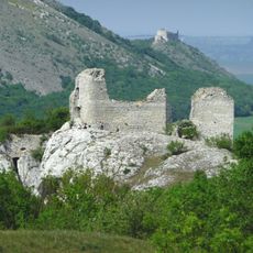
Sirotčí hrádek
1.4 km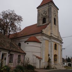
Church of Saint Giles
2.1 km
Burgstall Neuhaus (Klentnice)
1.7 km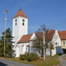
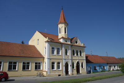
Church of Saint Nicholas (Perná)
258 m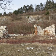
Kaple svatého Antonína (Perná)
1.1 km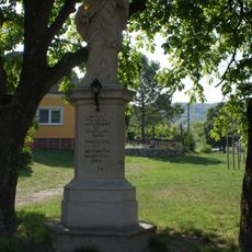
Statue of Saint John of Nepomuk in Perná
298 m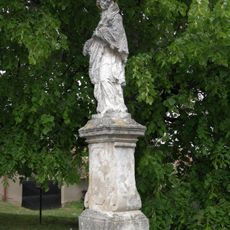
Socha svatého Jana Nepomuckého (Klentnice)
1.6 km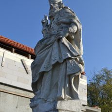
Statue of Saint Nicholas in Perná
537 m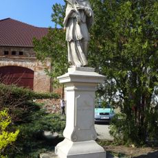
Sochy svatého Floriána a svatého Jana Nepomuckého
2.2 km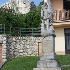
Socha svatého Floriána
1.8 km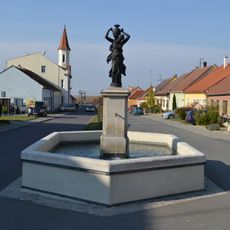
Fountain in Perná
133 m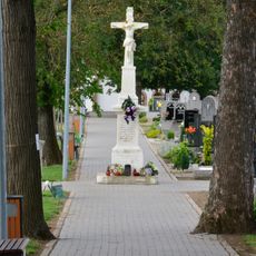
Ústřední kříž
1.9 km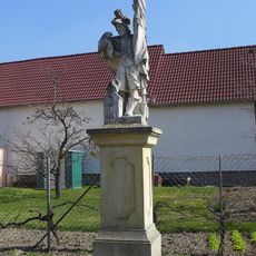
Statue of Saint Florian in Perná
359 m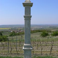
Boží muka
868 m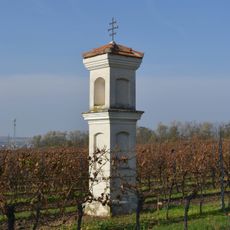
Column shrine U Božích muk in Perná
955 m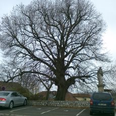
Klentnická lípa Sv. Jana Nepomuckého
1.6 km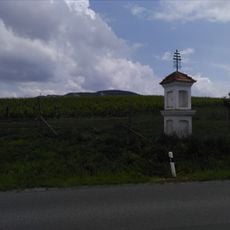
Column shrine in Perná
1.8 km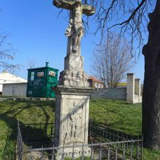
Kříž
2 km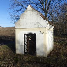
Kaplička
2 km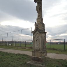
Kříž
2.1 km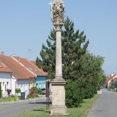
Holy Trinity column in Perná
20 m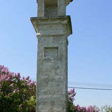
Boží muka
1.4 km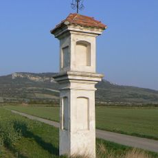
Boží muka
1.5 km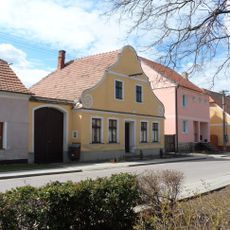
Venkovský dům
2.3 km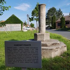
Pranýř
2.1 km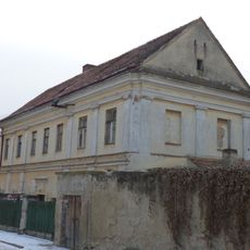
Fara
2.1 km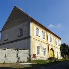
Rectory in Perná
258 m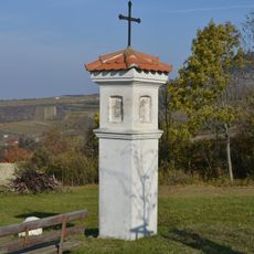
Trnka column shrine in Perná
715 mVisited this place? Tap the stars to rate it and share your experience / photos with the community! Try now! You can cancel it anytime.
Discover hidden gems everywhere you go!
From secret cafés to breathtaking viewpoints, skip the crowded tourist spots and find places that match your style. Our app makes it easy with voice search, smart filtering, route optimization, and insider tips from travelers worldwide. Download now for the complete mobile experience.

A unique approach to discovering new places❞
— Le Figaro
All the places worth exploring❞
— France Info
A tailor-made excursion in just a few clicks❞
— 20 Minutes