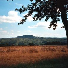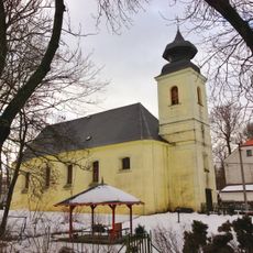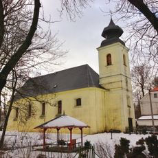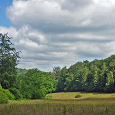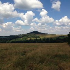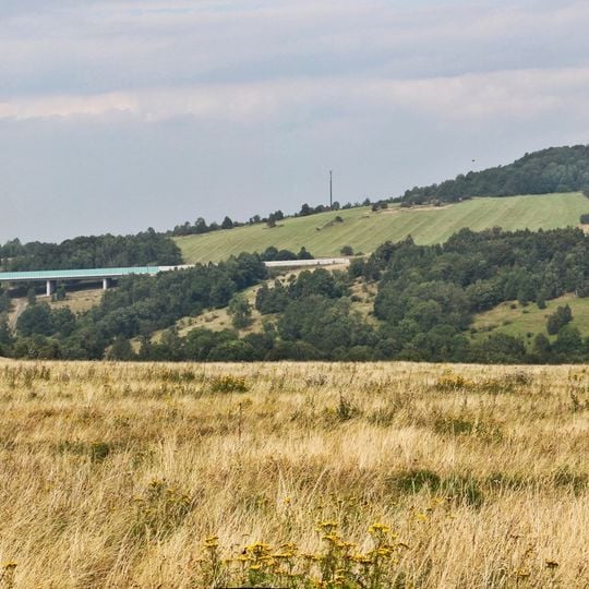
Spičák, Mountain summit in the Eastern Ore Mountains near Krásný Les, Petrovice, Czech Republic
Sattelberg, known in Czech as Špičák, is a 723-metre summit in the eastern Ore Mountains. Its peak is formed of basalt that pierced Cretaceous sandstone, leaving basalt columns and block fields on the slopes and a 10-metre sandstone cliff on the east side.
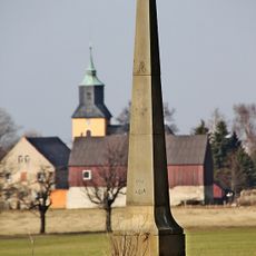
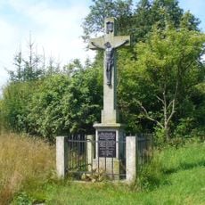
In 1865 a second-order triangulation station of the Royal Saxon survey was set up on the summit; its base remains. A small inn opened on the east side in 1907, run by the local publican Kajetan Ritschel, and closed after 1945, leaving only stone foundations. The summit cross was destroyed after the Second World War and replaced in 2005 and again in 2014.
The German name Sattelberg comes from the mountain's two-peaked saddle shape, while the Czech name Špičák translates the older German name Schönwalder Spitzberg. The village of Krásný Les below the peak, founded in the 13th century as Schönwald, was renamed in 1948.
Two starting points serve the summit: Oelsen on the German side, about 2.8 km via the Oelsener Höhe, and Krásný Les, about 2.5 km. The marked trail passes the western slope, then a roughly 350 m unmarked path climbs to the top.
The Czech name Špičák is a translation of the German Schönwalder Spitzberg, while the German Sattelberg comes from the mountain's two-peaked saddle shape. A stone base on the summit is the remnant of a measuring point of the Royal Saxon triangulation set up in October 1865.
The community of curious travelers
AroundUs brings together thousands of curated places, local tips, and hidden gems, enriched daily by 92,112 contributors worldwide.