
Ořechov, village in Brno-venkov District of South Moravian region
Location: Шлапанице
Location: Brno-Country District
Elevation above the sea: 302 m
Shares border with: Radostice, Moravany, Mělčany, Želešice, Syrovice, Silůvky, Prštice, Bratčice, Hajany, Střelice, Nebovidy
Email: obec@orechovubrna.cz
Website: http://orechovubrna.cz
GPS coordinates: 49.11121,16.52330
Latest update: March 3, 2025 22:09
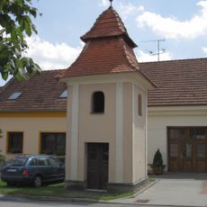
Chapel of the Assumption
2.3 km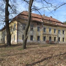
Hajany Castle
2.1 km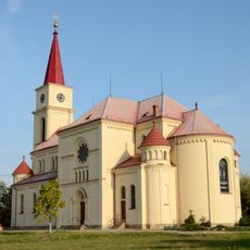
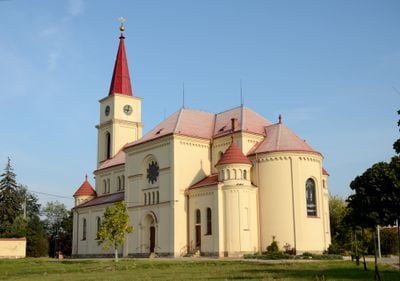
Church of All Saints
219 m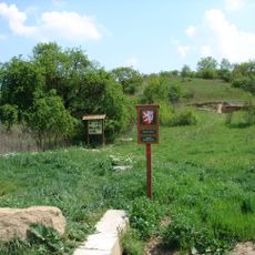
Bezourek
2.9 km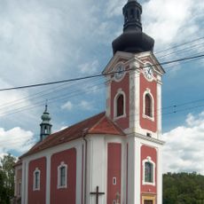
Church of Saint George
746 m
Střelický les
2.9 km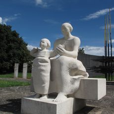
Mother with baby
290 m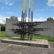
War
300 m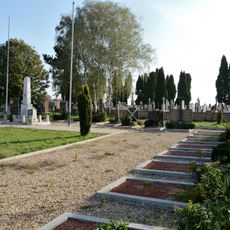
Hřbitov Rudé armády
300 m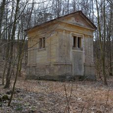
Hrobka Deymů ze Stříteže
1.9 km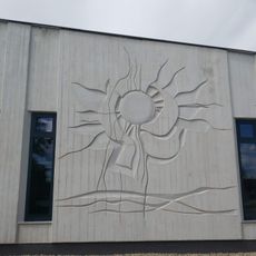
Slunce
226 m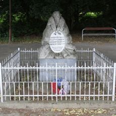
Pomník obětem první světové války a vojákům Rudé armády
2.2 km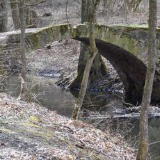
Stone bridge in Spálený Mlýn
2.5 km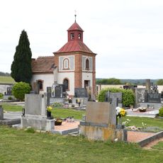
Cemetery chapel in Silůvky
3.5 km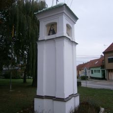
Boží muka
490 m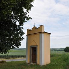
Chapel of Holy Trinity
3.4 km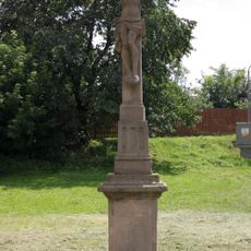
Kamenný kříž v Hajanech
2.4 km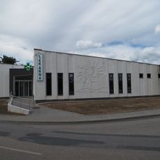
Síň tradic
221 m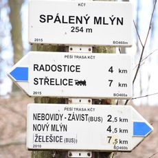
Rozcestník Spálený mlýn
2.5 km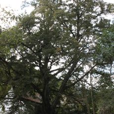
Lípa malolistá u Nového mlýna
2.7 km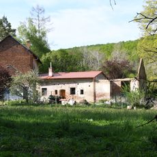
Spálený mlýn
2.5 km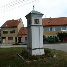
Boží muka na Ježkově v Ořechově
490 m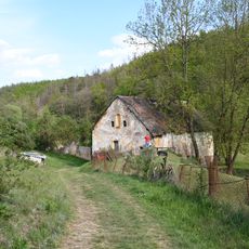
Šafránkův mlýn
2.4 km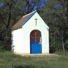
Chapel of Saint Peregrine
2.4 km
Bezourek
2.9 km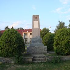
World War I and II memorial in Radostice
4 km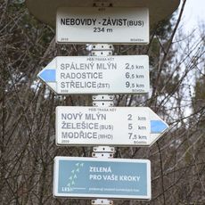
Rozcestník Nebovidy - Závist, bus
2.6 km
Anenský mlýn
2.6 kmVisited this place? Tap the stars to rate it and share your experience / photos with the community! Try now! You can cancel it anytime.
Discover hidden gems everywhere you go!
From secret cafés to breathtaking viewpoints, skip the crowded tourist spots and find places that match your style. Our app makes it easy with voice search, smart filtering, route optimization, and insider tips from travelers worldwide. Download now for the complete mobile experience.

A unique approach to discovering new places❞
— Le Figaro
All the places worth exploring❞
— France Info
A tailor-made excursion in just a few clicks❞
— 20 Minutes