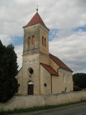
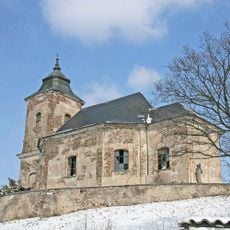
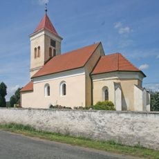
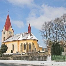
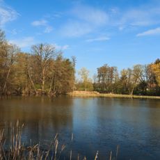
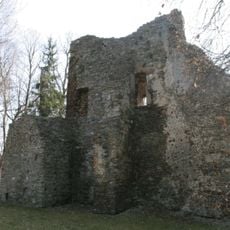
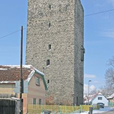
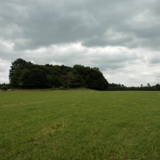
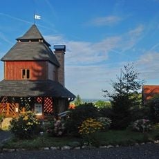
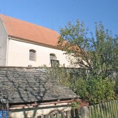
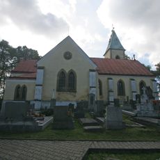
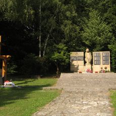
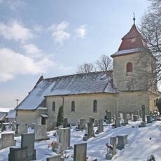
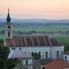
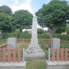
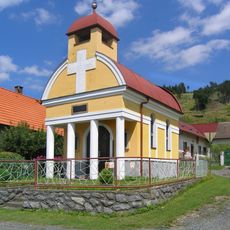
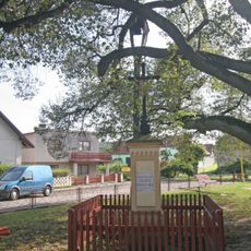
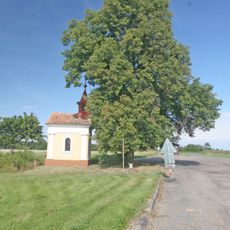
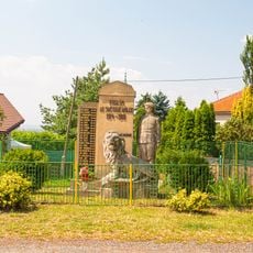
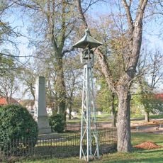
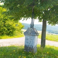
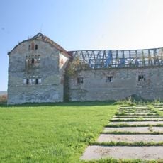
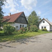
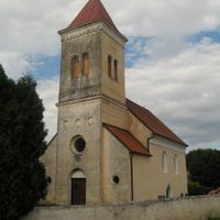
Hošťalovice, village in Chrudim District of Pardubice region
Location: Chrudim District
Location: Хрудим
Elevation above the sea: 412 m
Shares border with: Míčov-Sušice, Podhořany u Ronova, Holotín, Načešice, Bukovina u Přelouče, Vyžice, Lipovec
Email: ouhostalovice@iol.cz
Website: http://hostalovice.cz
GPS coordinates: 49.93485,15.57598
Latest update: March 12, 2025 14:05
Church of the Assumption of the Virgin Mary
4.9 km
Starkočský lom
5.6 km
Church of Saint Gall (Hošťalovice)
142 m
All Saints church
3.6 km
Rybník Moře
3.2 km
Tvrz Svojšice
4 km
Tower in Semtěš
5.3 km
Skalka u Sovolusk
4.7 km
Na Kopečku
2.5 km
Church of Saint Catherine (Licoměřice)
2.5 km
Church of Saint Matthew (Míčov)
3.9 km
Pomník protifašistických bojovníků
2.2 km
Church of Saint Martin
2.9 km
Protestant church in Semtěš
5.5 km
Pomník
3 km
Pomník obětem I. světové války a pomník MUDr. J. Bartoňovi
3.6 km
Chapel of the Holy Cross
4.7 km
Pamětní deska
6 km
Rectory in Semtěš
5.4 km
Rozcestník Krkanka
4.3 km
Kříž v Sovoluskách
4.7 km
Kaple v Urbanicích
4.7 km
Pomník padlým v Semtěši
5.3 km
Kříž
3.8 km
Kříž v Bousově
4.6 km
Zvonička ve Starkoči
5 km
Kříž
3.4 km
Vesnická usedlost Lovčice č.p.5
4.3 kmVisited this place? Tap the stars to rate it and share your experience / photos with the community! Try now! You can cancel it anytime.
Discover hidden gems everywhere you go!
From secret cafés to breathtaking viewpoints, skip the crowded tourist spots and find places that match your style. Our app makes it easy with voice search, smart filtering, route optimization, and insider tips from travelers worldwide. Download now for the complete mobile experience.
A unique approach to discovering new places❞
— Le Figaro
All the places worth exploring❞
— France Info
A tailor-made excursion in just a few clicks❞
— 20 Minutes